Deutsch
 English
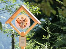
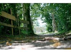
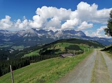
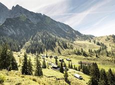
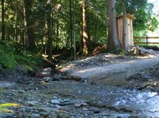
War memorial circular route

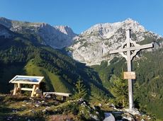
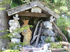
This pleasant circular walk takes you to Söll’s war memorial in a beautiful section of forest.
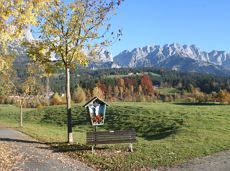
Hiking starting point Tourist Info, Söll (689 m)
Hiking starting point Tourist Info, Söll (689 m)
Wandelen
Gemakkelijk
0:30 u
2,1 km
10 Hoogtemeters