


 Deutsch
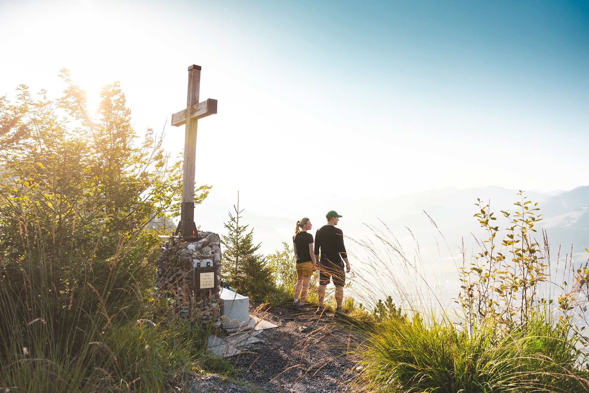
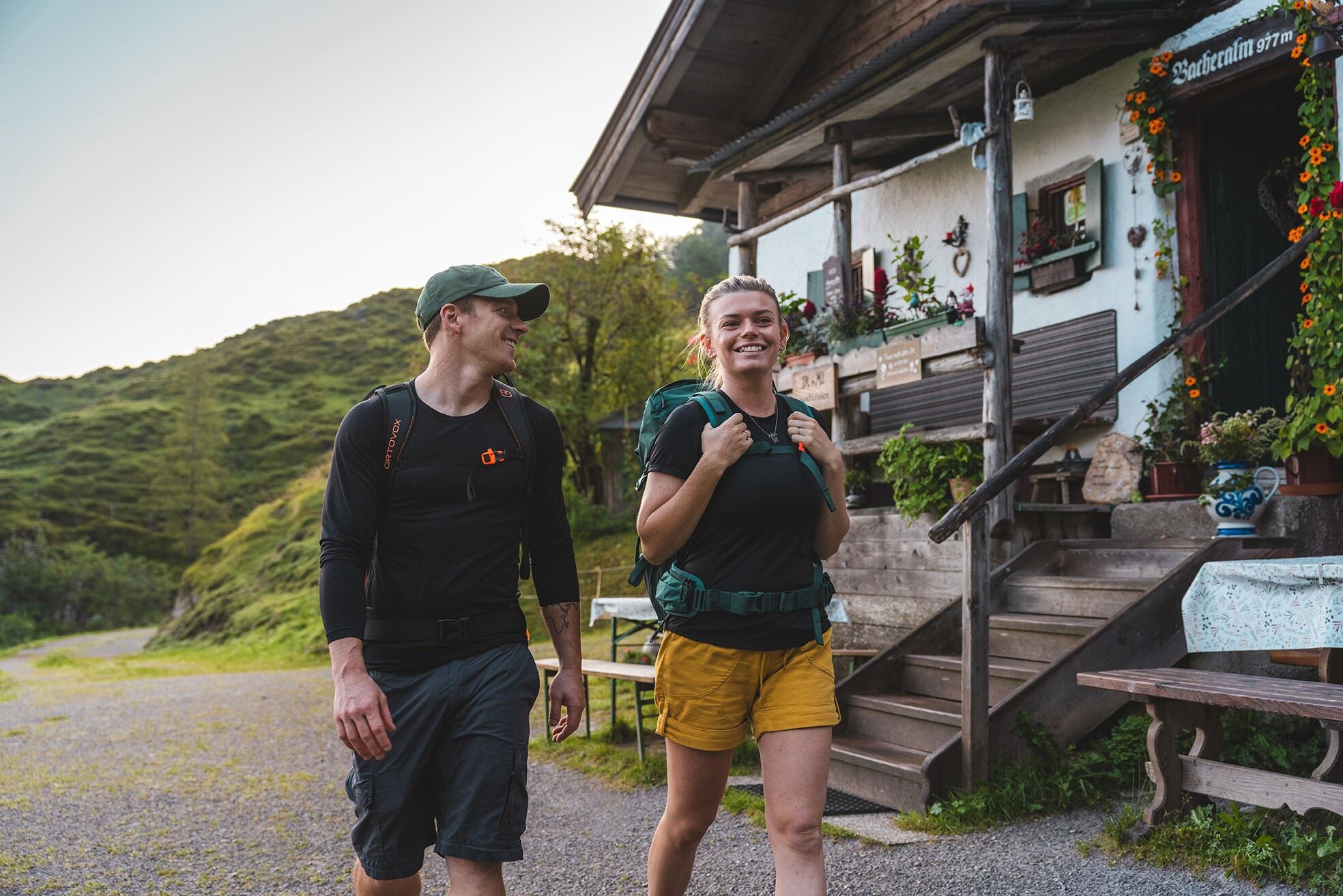
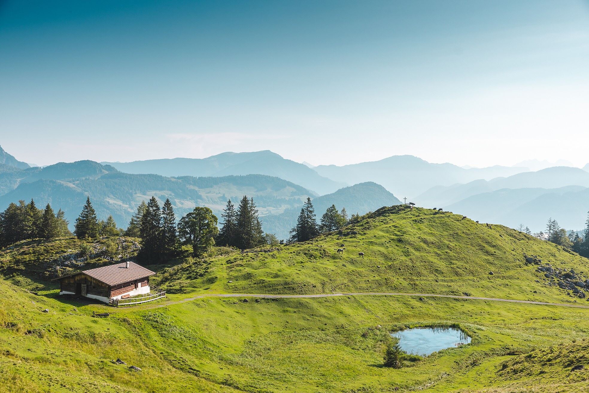
Graspoint Niederalm
Cosed - Open from 15.05.2025
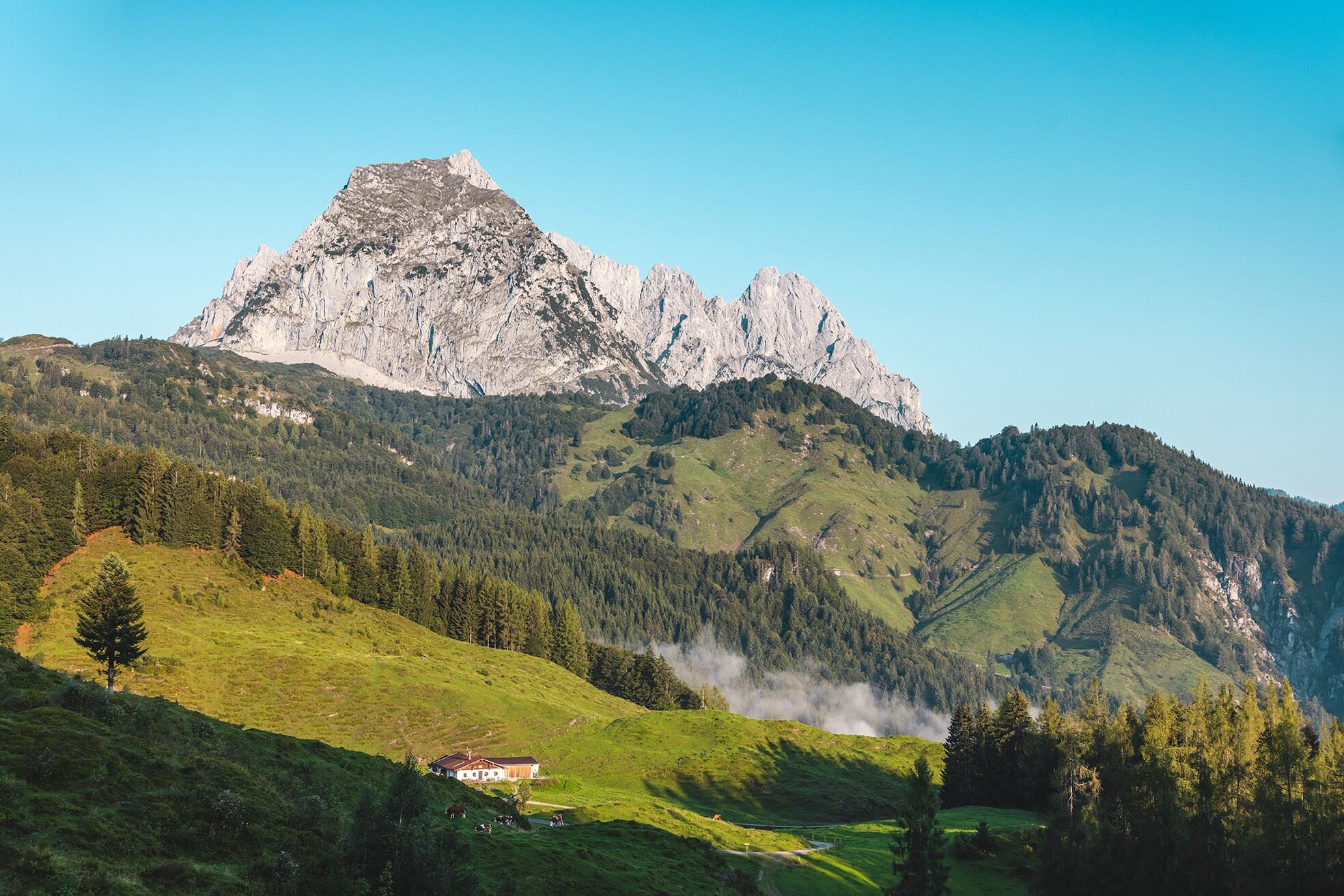
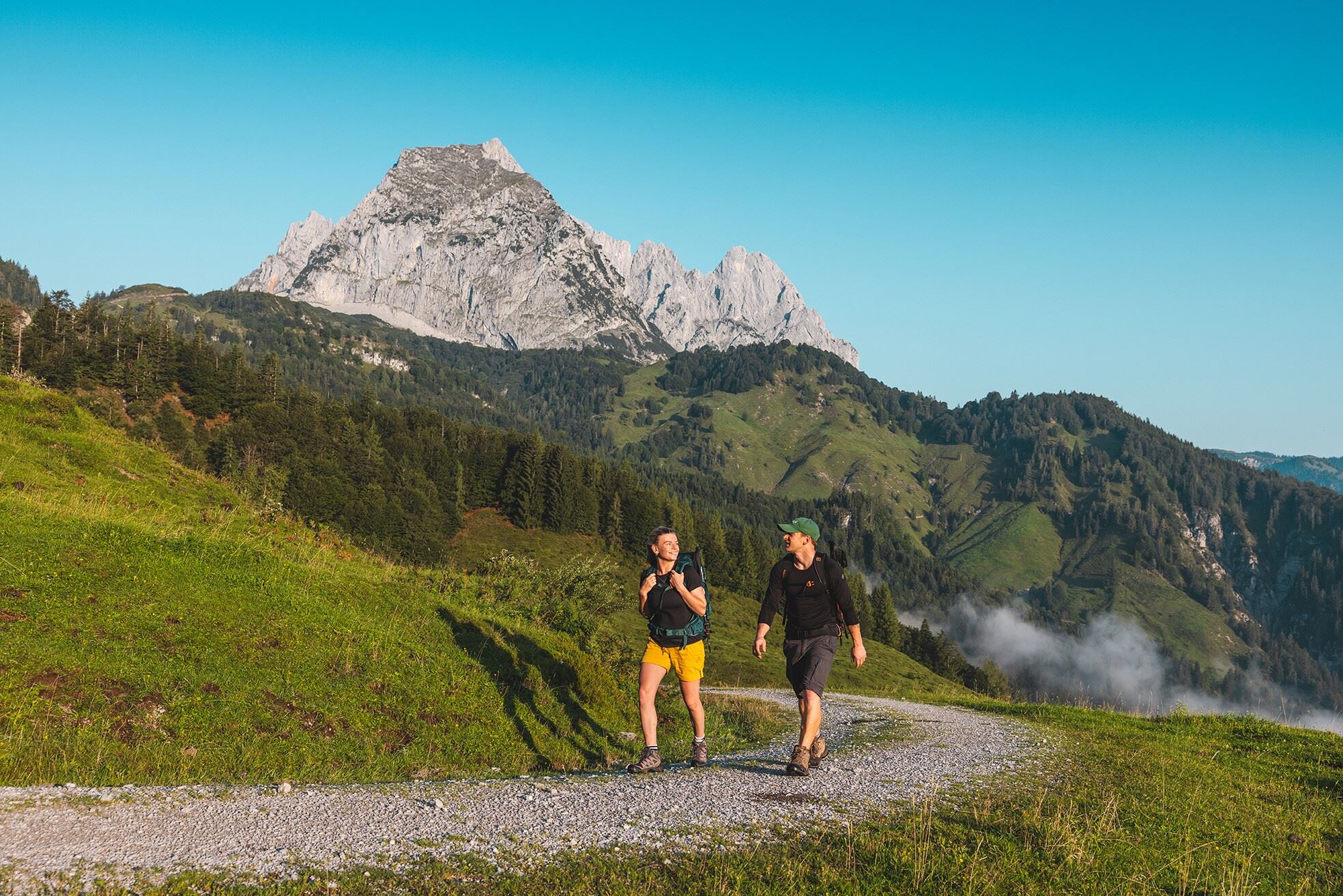
Going am Wilden Kaiser
(0043) 664 88690750
Read more
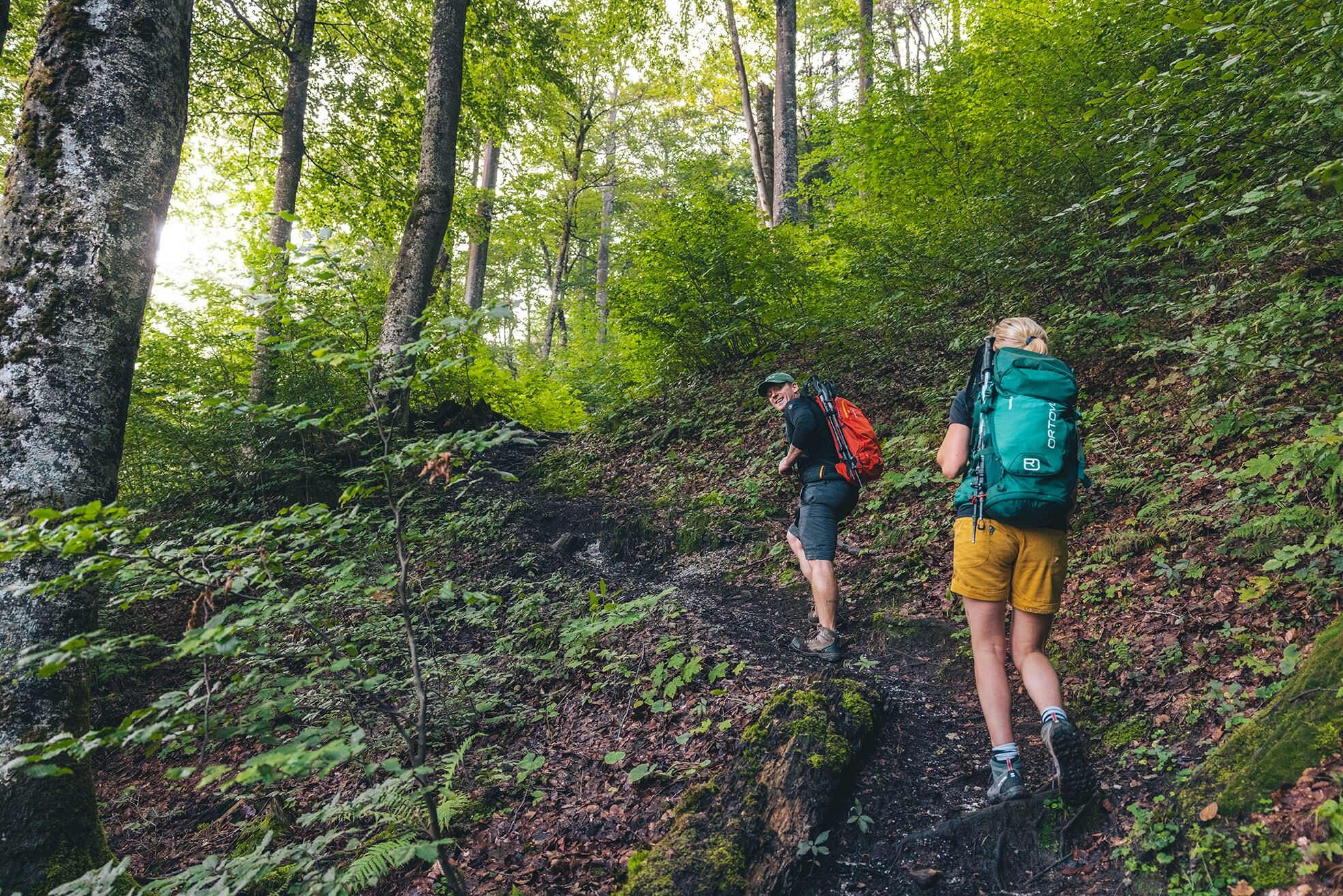
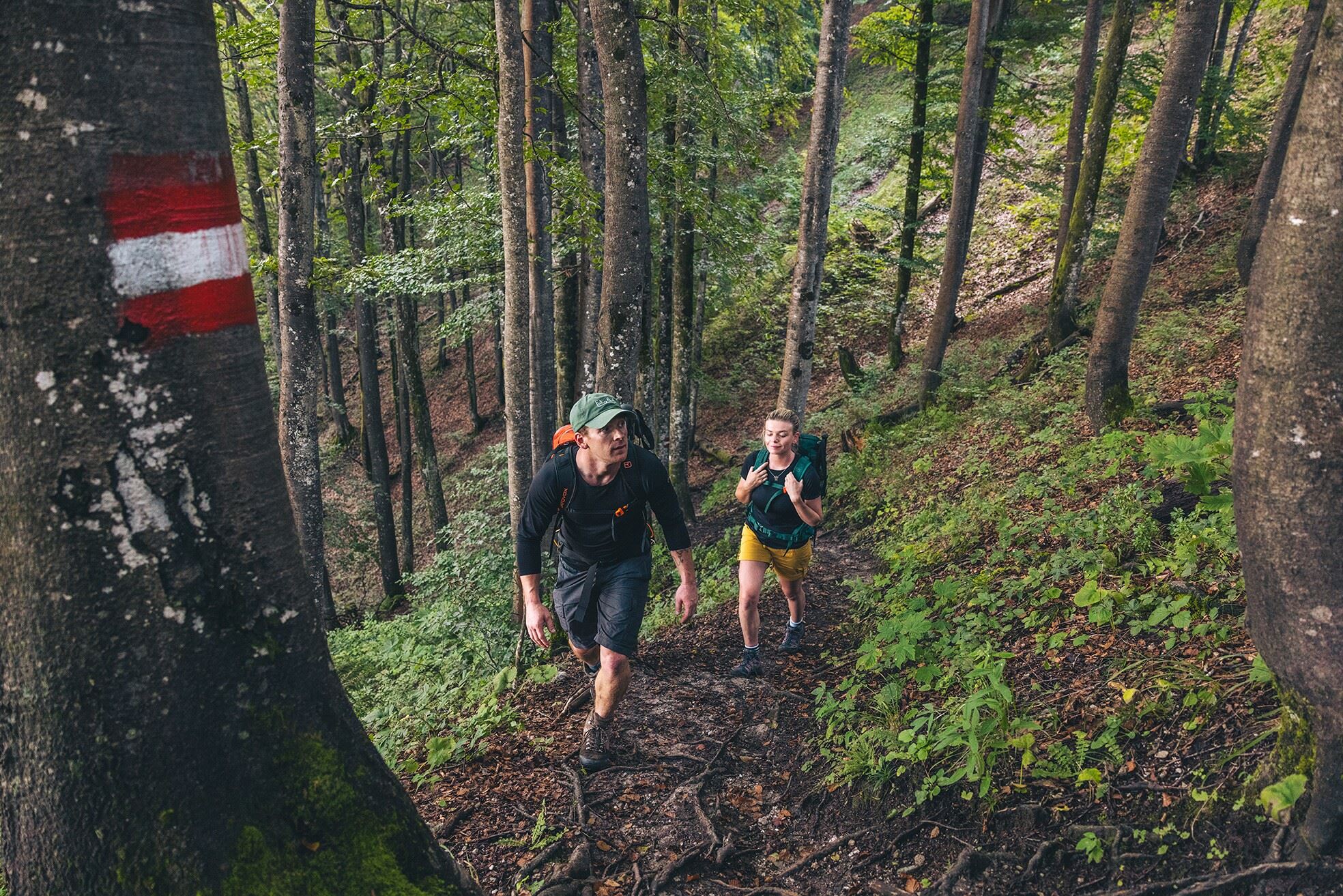
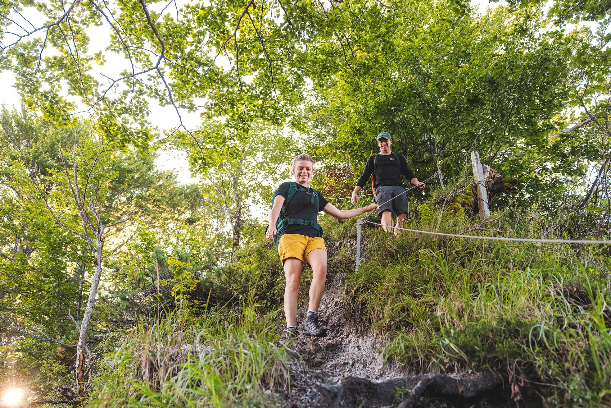
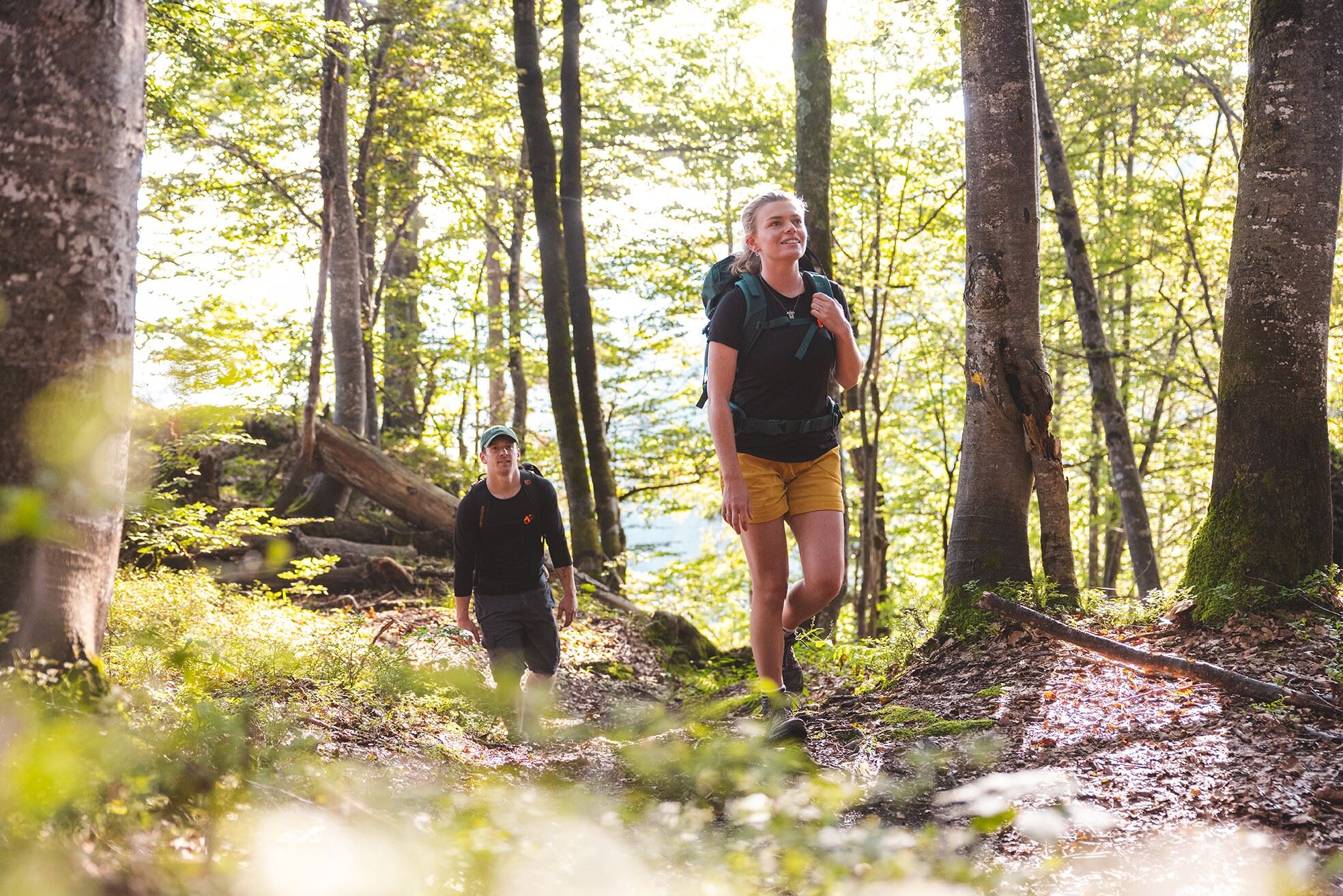
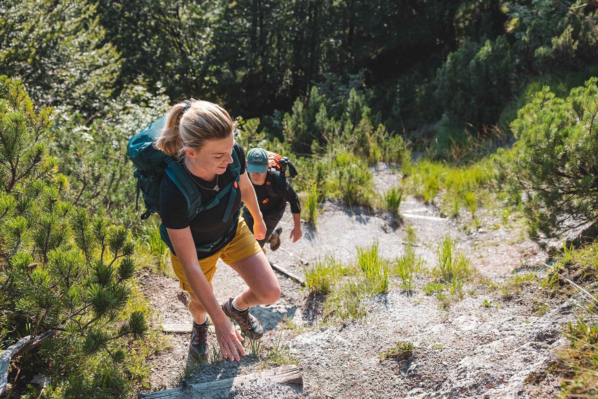
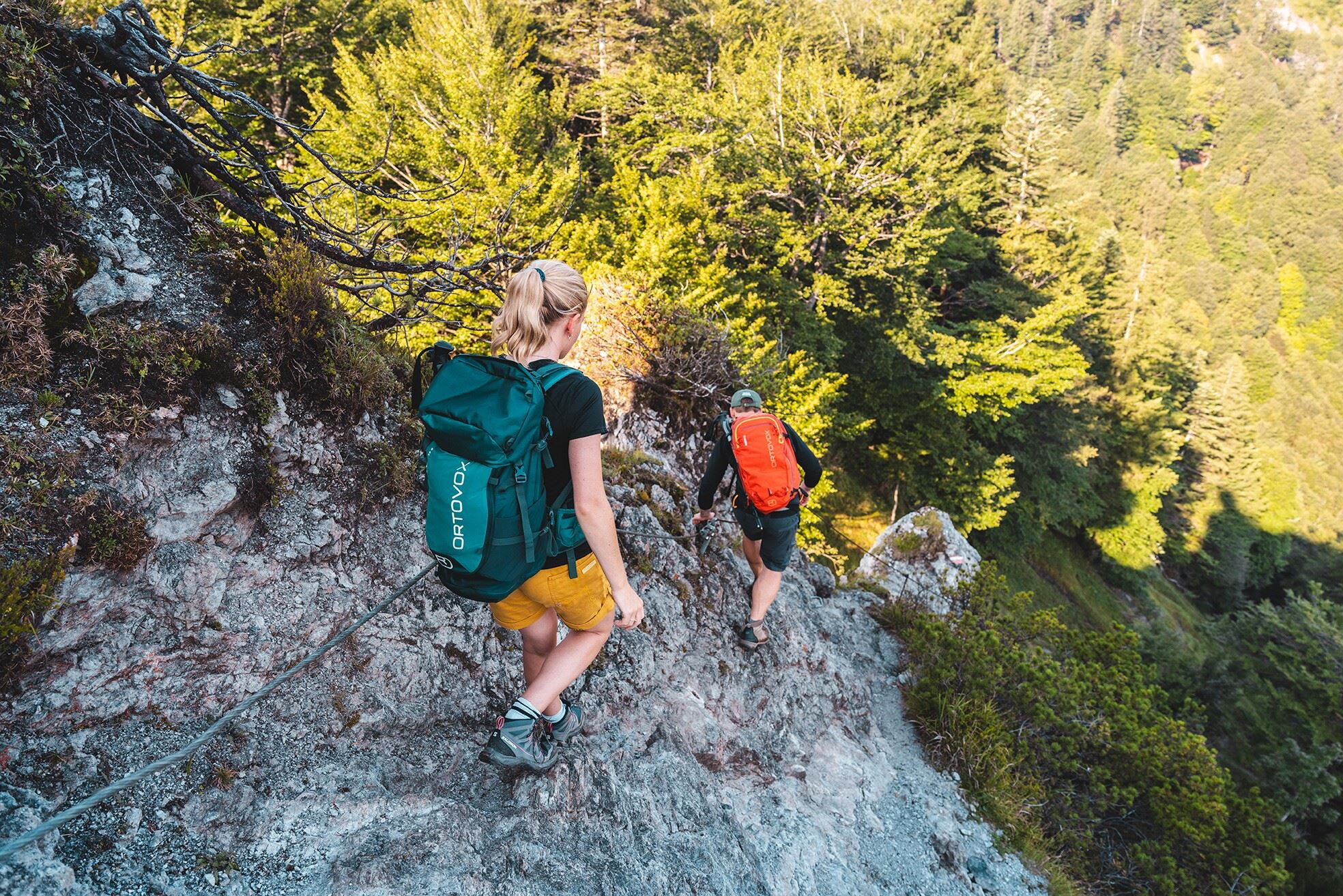
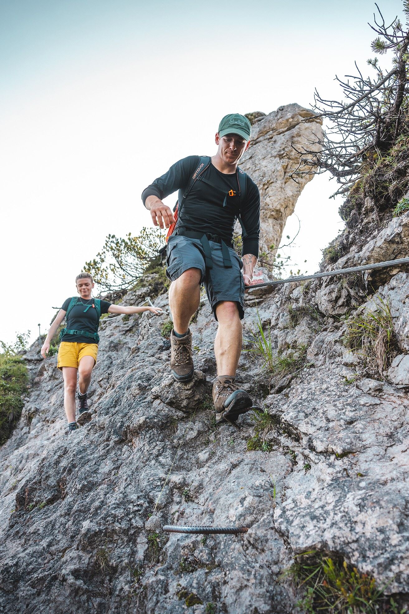
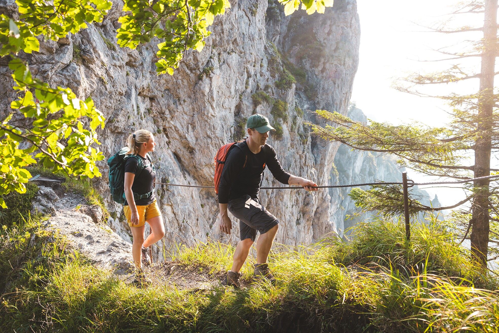
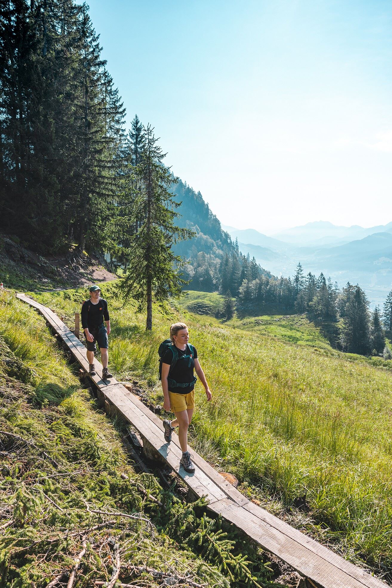
The composition of the trail varies between forest roads, paths, meadow and forest trails and rocky passages with some sections secured by ropes.
Rucksack, sturdy hiking/mountaineering boots with anti-slip treaded soles, weather-appropriate hiking gear (breathable), a change of clothes, sun protection (sunglasses, sun cream, lip protection, headgear), waterproofs (rain jacket/poncho, pocket umbrella, rucksack protector), cold protection (hat, gloves), sufficient food and drink, hiking poles (height adjustable) if required, first aid kit incl. rescue blanket and bivouac sack, mobile phone with fully charged battery, headlamp, plastic bag for waste, hiking map, route description and information materials (GPX track), ID, insurance card, cash
Additions for overnight stay at mountain hut:
Mountain hut sleeping bag, indoor shoes, toiletries and towel, personal medication, headlamp, Alpine Club ID Card, cash, charger for mobile phone The hiking routes between the huts are often rather long, we recommend taking plenty of food and drink and booking your overnight stays well in advance.
Read more
With the Hüttling hiking bus you get back to the parking lot Going Zentrum.
More information at: www.wilderkaiser.info/mobility
Read more
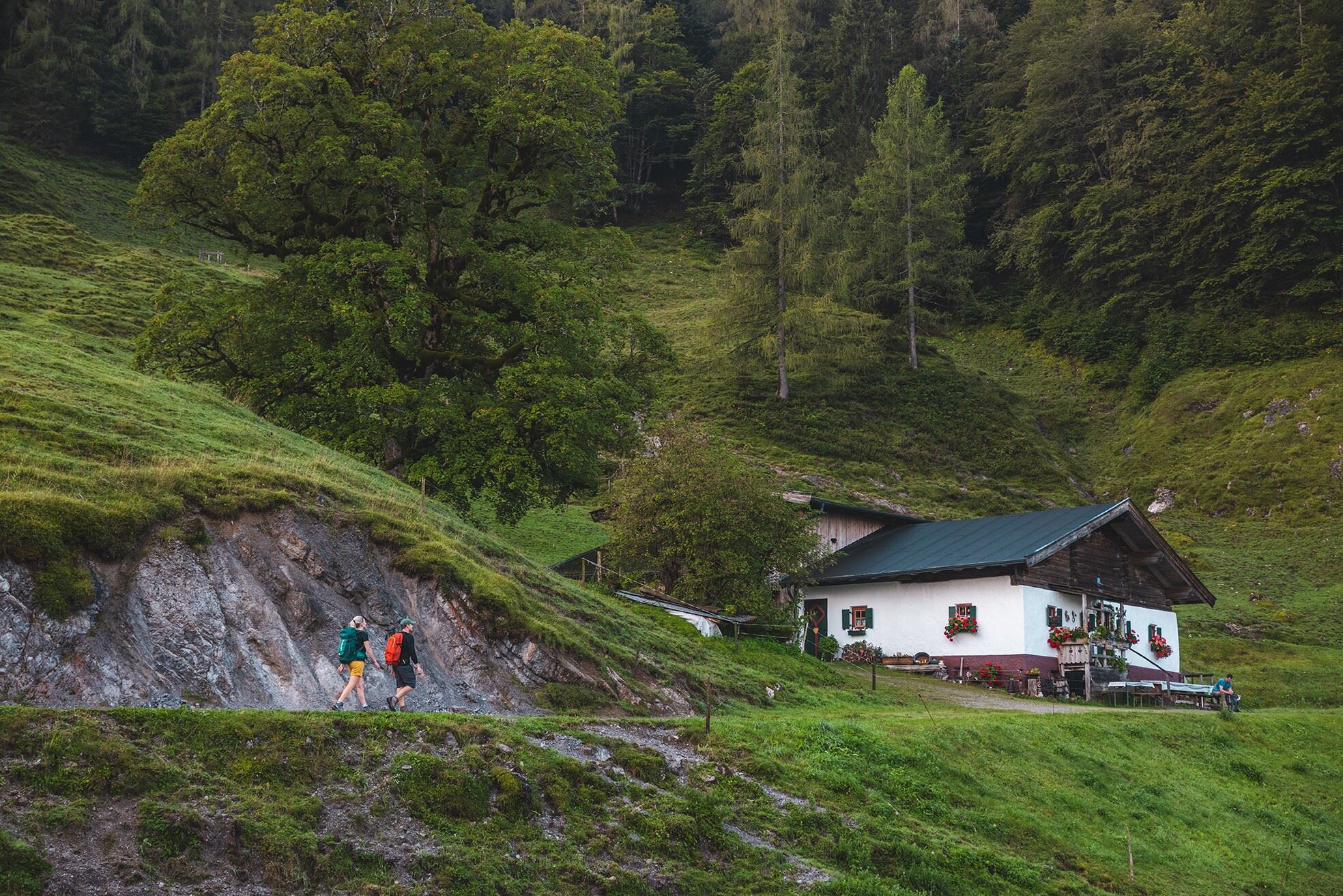
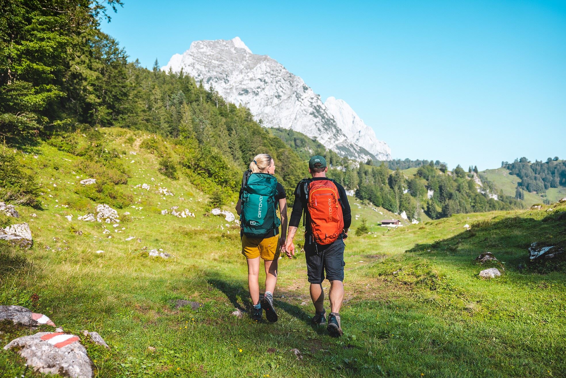
Make sure to take sufficient food and drinks with you on this stage!
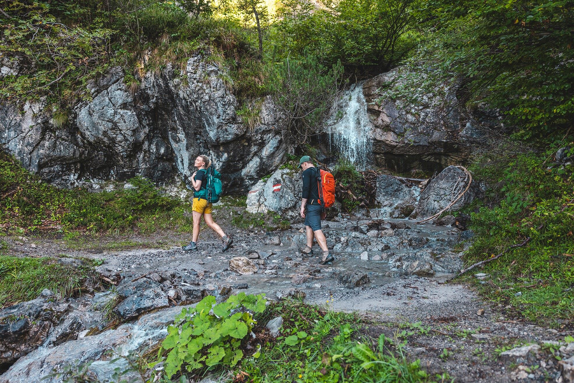
Tip for climbing enthusiasts with a good head for heights: alternative route via the Schleier Waterfall
If you make the descent via a steep ladder measuring around 5 metres in length, you will be rewarded with a unique spectacle of nature and climbing at the Schleier Waterfall.
For the subsequent descent to Going and for details about this tour, see “Alternative route via Schleier Waterfall”.
Fitness
Technical
Experience
01
Jan
02
Feb
03
Mrz
04
Apr
05
May
06
Jun
07
Jul
08
Aug
09
Sep
10
Oct
11
Nov
12
Dec
Cosed - Open from 15.05.2025
Going am Wilden Kaiser
(0043) 664 88690750
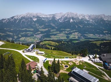
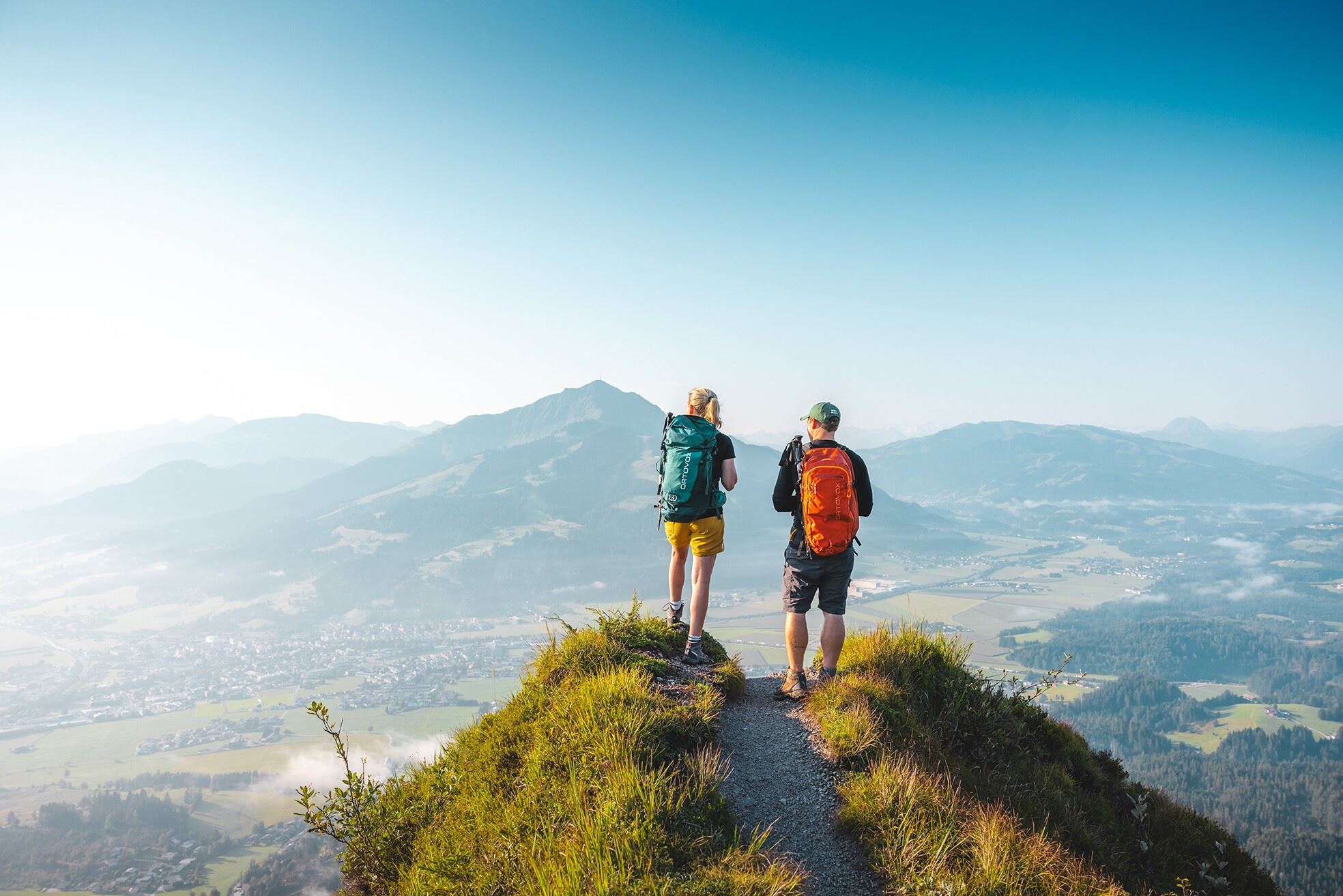
Eventful hike for families with a great panoramic view and playgrounds for children.
Brandstadlbahn summit station, Scheffau (1,643 m)
Hexenwasser theme park, Söll (1,150 m)
Hiking
Intermediate
4:00 h
11,0 km
350 Elevation gain

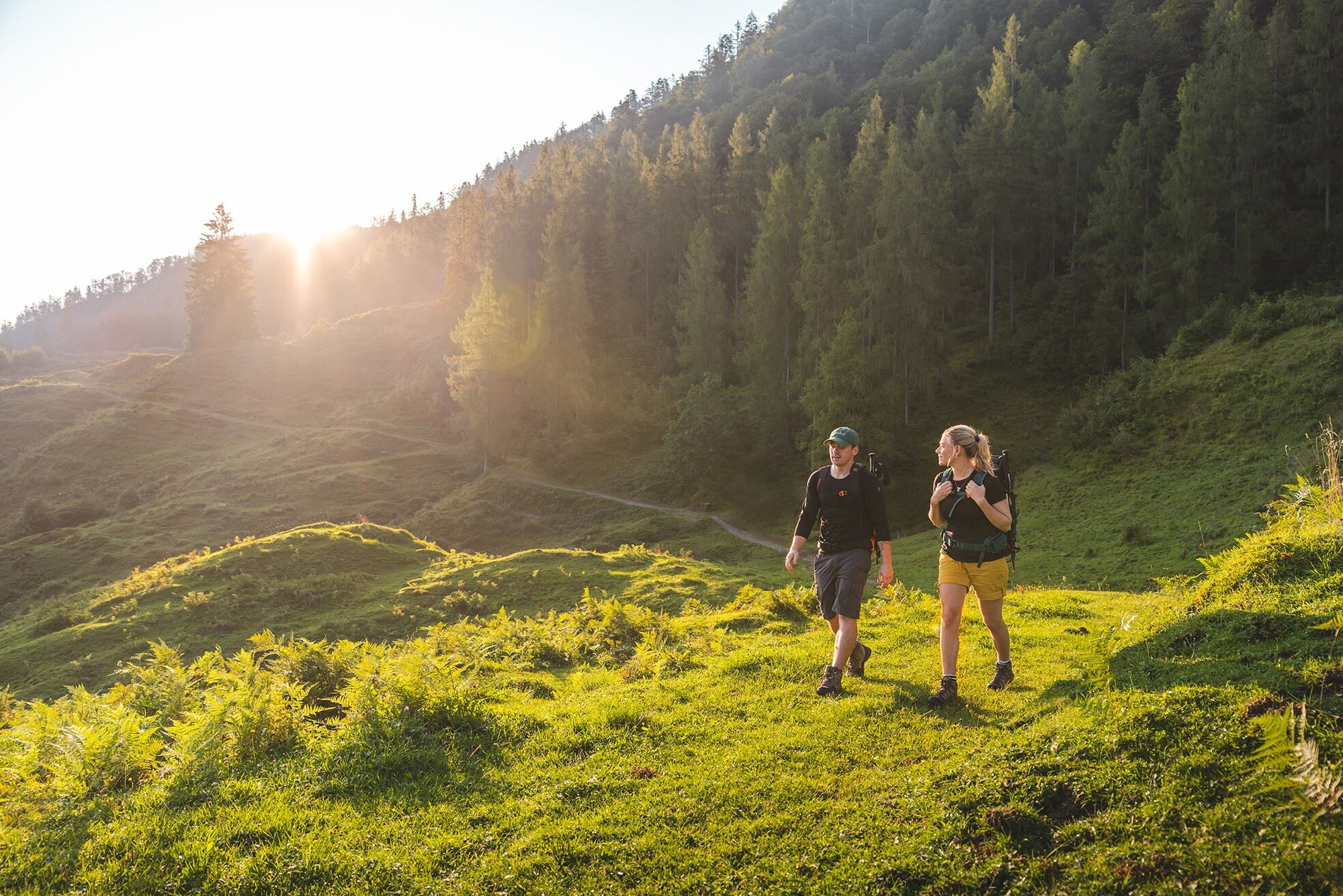
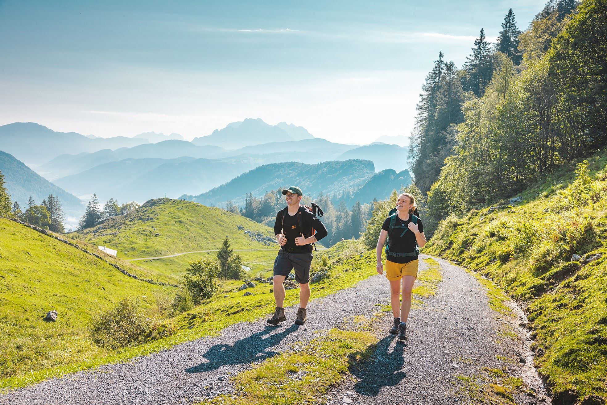
Scenic and varied circular hike.
Hiking starting point Going center (former tourist information Going) (764 m)
Hiking starting point Going center (former tourist information Going) (764 m)
Hiking
Intermediate
4:00 h
11,0 km
500 Elevation gain
A must for hikers in Söll - local history and culinary delights on the sunny side.
Hiking starting point Franzlhof, Söll (703 m)
Hiking starting point Franzlhof, Söll (703 m)
Hiking
Intermediate
3:45 h
11,0 km
420 Elevation gain
The viewpoint mountain of the locals, steep and fascinating.
Hiking starting point Alpenschlössl, Söll (762 m)
Hiking starting point Alpenschlössl, Söll (762 m)
Hiking
Intermediate
5:00 h
10,4 km
790 Elevation gain

Enjoy the scenic area of the Hohe Salve where the Söll waters originate.
Exit Keat chairlift, Söll (1,533 m)
Exit Keat chairlift, Söll (1,533 m)
Hiking
Intermediate
3:45 h
10,3 km
530 Elevation gain
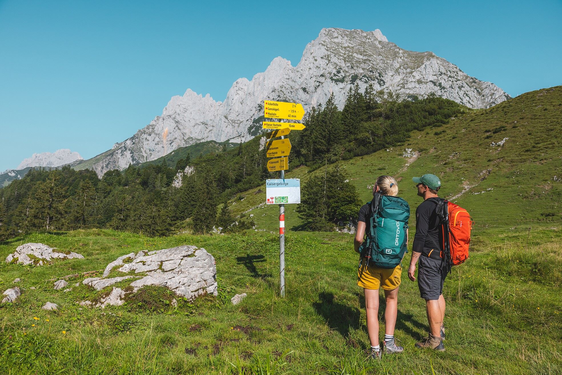
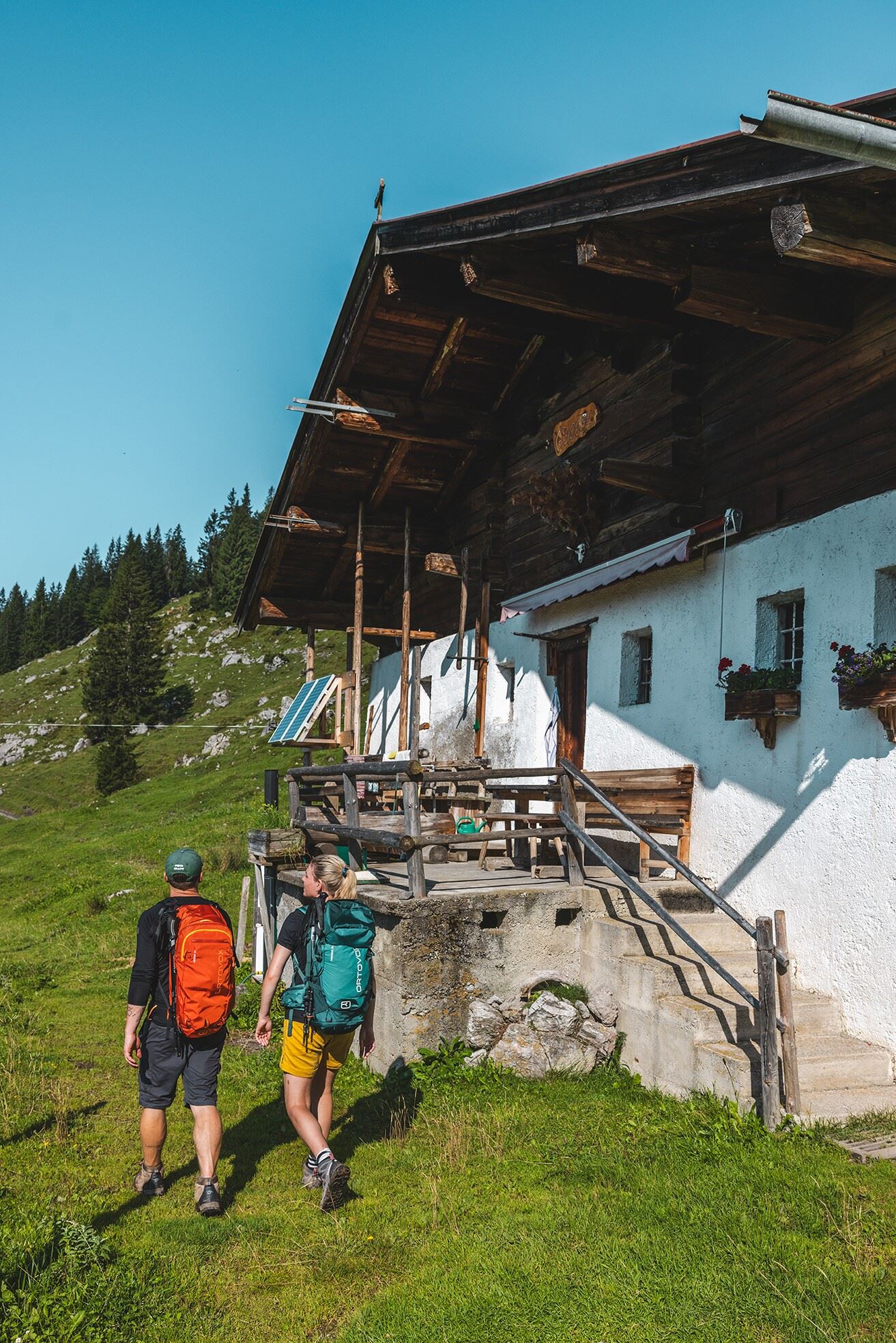
Gruttenhütte - Kaiser-Hochalm - Steiner-Hochalm - Hinterschießling Alm - Rehbachklamm - Scheffau, Dorf
Gruttenhütte, Ellmau (1,620 m)
Scheffau village (889 m)
Hiking
Intermediate
4:30 h
11,4 km
190 Elevation gain
2025-04-16
22 °C
2025-04-17
20 °C
2025-04-18
12 °C
2025-04-19
17 °C
