


 Deutsch
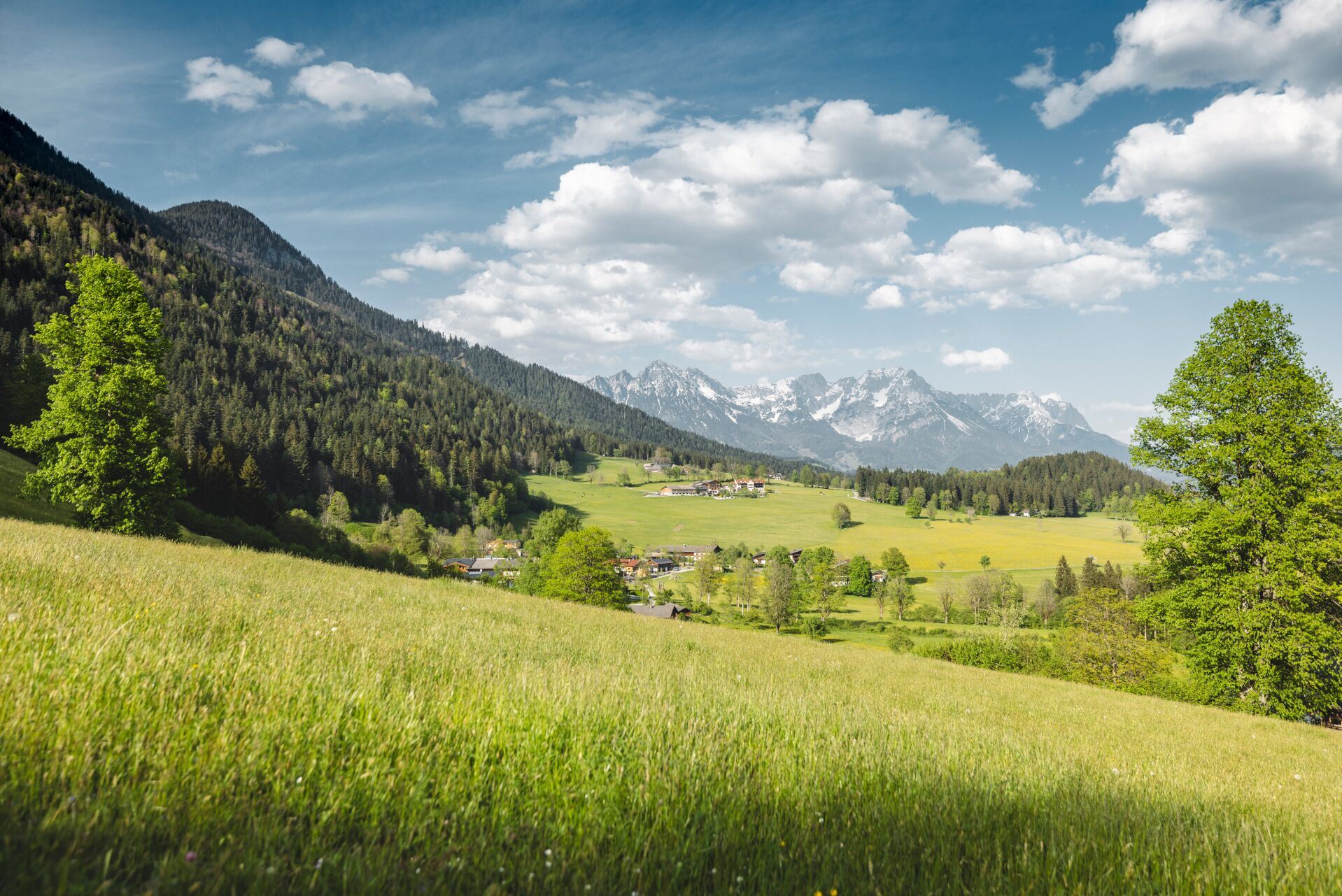
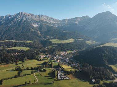
Parking area Steintal, Söll

Söll
(0043) 5333 5210
Read more
The composition of the trail varies between asphalt, forest road and meadow path.
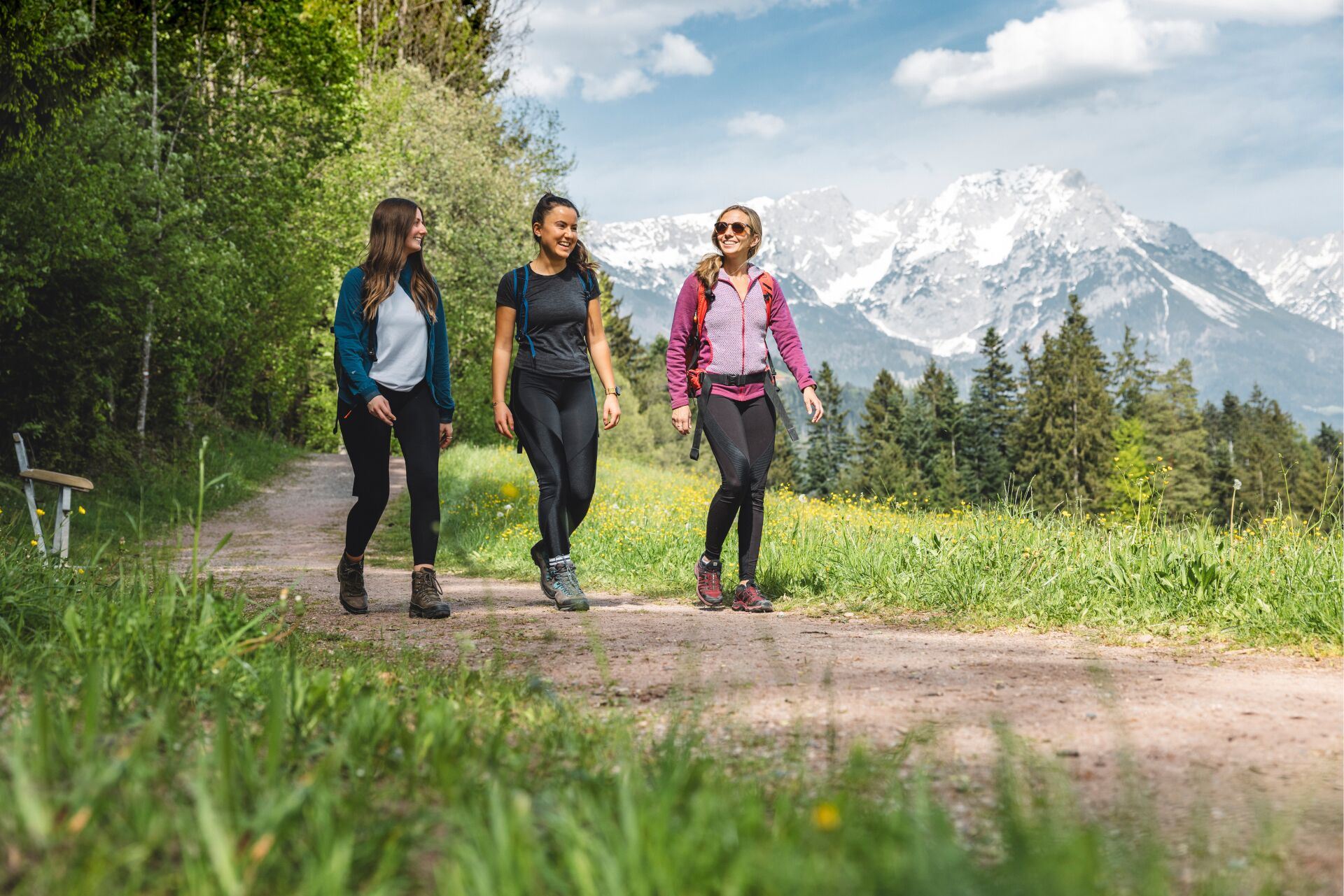
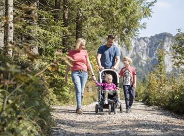
Rucksack, sturdy hiking/mountaineering boots with anti-slip treaded soles, weather-appropriate hiking gear (breathable), a change of clothes, sun protection (sunglasses, sun cream, lip protection, headgear), waterproofs (rain jacket/poncho, pocket umbrella, rucksack protector), cold protection (hat, gloves), sufficient food and drink, hiking poles (height adjustable) if required, first aid kit incl. rescue blanket and bivouac sack, mobile phone with fully charged battery, headlamp, plastic bag for waste, hiking map, route description and information materials (GPX track), ID, insurance card, cash
Read more
Regular bus stop Söll, Denggenbauer on line 4060.
More information at: www.wilderkaiser.info/mobility
Coming from Wörgl on the B178 main road, take the exit on the left, opposite the Söll business park, into the neighborhood of Ried. Follow the signs to "Alpenschlössl", after a 90° bend to the left past the houses, turn right at the next junction. After approx. 400 m you will reach the Steintal hiking starting point on the right-hand side.
Coming from St. Johann/Kufstein on the B178 main road, take the exit on the right, after the Söll business park, into the neighborhood of Ried. Follow the signs to "Alpenschlössl", after a 90° bend to the left past the houses, turn right at the next junction. After approx. 400 m you will reach the Alpenschlössl hiking starting point on the right-hand side.
Hiking starting point Alpenschlössl, Söll (762 m) - for free
Read more
Tip: With Jakob Fuchs, the owner of the Firsterhof, you can take part in a schnapps tasting with a tour of the distillery as part of our activity program. For more information, visit: www.wilderkaiser.info/aktivprogramm
Fitness
Technical
01
Jan
02
Feb
03
Mrz
04
Apr
05
May
06
Jun
07
Jul
08
Aug
09
Sep
10
Oct
11
Nov
12
Dec
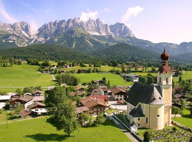
Söll
(0043) 5333 5210
Cosed - Open from 15.05.2025
Söll
(0043) 5333 6400
Hike from the centre of Ellmau, along trail no. 14, through the Spatlahner gorge up to the Wochenbrunner Alm.
Hiking starting point Tourist Info, Ellmau (800 m)
Hiking starting point Tourist Info, Ellmau (800 m)
Hiking
Easy
1:30 h
4,4 km
285 Elevation gain
Moorland hike suitable for children. Discover the special inhabitants of the moor with Törfchen, the moor elf.
Römerhof, St. Johann (769 m)
Römerhof, St. Johann (769 m)
Hiking
Easy
1:30 h
4,3 km
100 Elevation gain
Round tour through Scheffau with panoramic views, refreshment by the stream and slowing down in the forest.
Hiking starting point Tourist Info, Scheffau (738 m)
Hiking starting point Tourist Info, Scheffau (738 m)
Hiking
Easy
1:15 h
4,3 km
90 Elevation gain
Explore Going on the village circular tour and get to knowone or two hidden corners of our quiet, idyllic, artisan village with panoramic views of the Wilder Kaiser from a different angle.
Hiking starting point Going center (former tourist information Going) (764 m)
Hiking starting point Going center (former tourist information Going) (764 m)
Hiking
Easy
1:15 h
4,2 km
60 Elevation gain

Circuit tour with breathtaking panorama
Astberg Bergstation
Astberg Bergstation
Hiking
Easy
1:20 h
4,1 km
140 Elevation gain
Leisurely hike through forest and across meadows to the sunny plateau of Going and back
Hiking starting point Going center (former tourist information Going) (764 m)
Hiking starting point Going center (former tourist information Going) (764 m)
Hiking
Easy
1:15 h
4,1 km
70 Elevation gain
2025-04-16
22 °C
2025-04-17
20 °C
2025-04-18
12 °C
2025-04-19
17 °C
