


 Deutsch


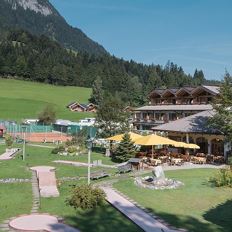
Parking area Franzlhof, Söll

Söll
(0043) 5333 5117
Read more
The composition of the trail varies between forest and hiking trail, with sections of asphalt (road used by motor vehicles).
Rucksack, sturdy hiking/mountaineering boots with anti-slip treaded soles, weather-appropriate hiking gear (breathable), a change of clothes, sun protection (sunglasses, sun cream, lip protection, headgear), waterproofs (rain jacket/poncho, pocket umbrella, rucksack protector), cold protection (hat, gloves), sufficient food and drink, hiking poles (height adjustable) if required, first aid kit incl. rescue blanket and bivouac sack, mobile phone with fully charged battery, headlamp, plastic bag for waste, hiking map, route description and information materials (GPX track), ID, insurance card, cash. Pack enough to eat and drink, as there is a long section without any inns!
Read more
KaiserJet/Postbus stop “Söll Dorf” – followed by approx. 10-minute hike to the hiking starting point (Franzlhof leisure centre). More information at: www.wilderkaiser.info
Heading from Wörgl, Kufstein or St. Johann on the B178 road, take the exit to Söll and then take the exit to Söll centre (“Söll, Zentrum”) at the roundabout. Drive straight through the village and bear right before the “Giovanni” pizzeria. Follow the road until you reach the hiking starting point at the Franzlhof leisure centre.
Franzlhof leisure centre car park, Söll (703 m) – free
Read more
Fitness
Technical
01
Jan
02
Feb
03
Mrz
04
Apr
05
May
06
Jun
07
Jul
08
Aug
09
Sep
10
Oct
11
Nov
12
Dec
Söll
(0043) 5333 5117
Cosed - Open from 25.04.2025
Söll
(0043) 5333 5117

A hike on varied paths around the Achleitberg.
Hiking starting point Tourist Info, Scheffau (738 m)
Hiking starting point Tourist Info, Scheffau (738 m)
Hiking
Intermediate
5:45 h
18,0 km
540 Elevation gain

Hike to the Gruttenhütte with great views to the Ellmauer Halt and the entire region.
Hiking starting point Tourist Info, Scheffau (738 m)
Gruttenhütte, Ellmau (1,620 m)
Hiking
Intermediate
6:30 h
16,4 km
990 Elevation gain
Stripsenjochhaus – Stripsenkopf – Feldberg – Scheibenbichlalmen – Griesenau – Gasteig
Stripsenjochhaus, St. Johann in Tirol (1,577 m)
Gasteig (750 m)
Hiking
Intermediate
6:30 h
16,1 km
640 Elevation gain

A circular route full of experiences that leads from the Seebachgraben gorge to the Wilder-Kaiser-Steig trail - discover one of the most beautiful parts of Scheffau!
Hiking starting point Tourist Info, Scheffau (738 m)
Hiking starting point Tourist Info, Scheffau (738 m)
Hiking
Intermediate
7:00 h
19,6 km
1140 Elevation gain

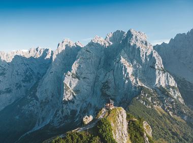
Panoramic circular walk in the Wilder Kaiser leading to the highest mountain hut in the region.
Hiking starting point Tourist Info, Ellmau (800 m)
Hiking starting point Tourist Info, Ellmau (800 m)
Hiking
Intermediate
6:00 h
15,7 km
870 Elevation gain

Is it about the journey or the destination? Well, one of the destinations of this stage is definitely the Hintersteiner See lake and its views. Surrounded by stunning mountain vistas, dwarf pine
Gaudeamushütte
Hintersteiner See
Hiking
Intermediate
6:30 h
15,1 km
888 Elevation gain
2025-04-16
22 °C
2025-04-17
20 °C
2025-04-18
12 °C
2025-04-19
17 °C
