Deutsch
 English
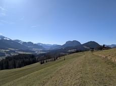
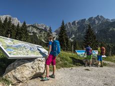
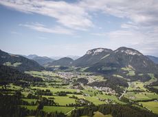
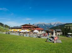
Tannbichl chapel circuit
 aanbevolen
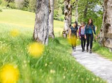
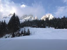
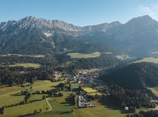
Nice circular hike through Going with visits to numerous chapels.
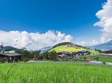
Hiking starting point Going center (former tourist information Going) (764 m)
Hiking starting point Going center (former tourist information Going) (764 m)
Wandelen
Gemakkelijk
2:45 u
9,3 km
210 Hoogtemeters