


 Deutsch
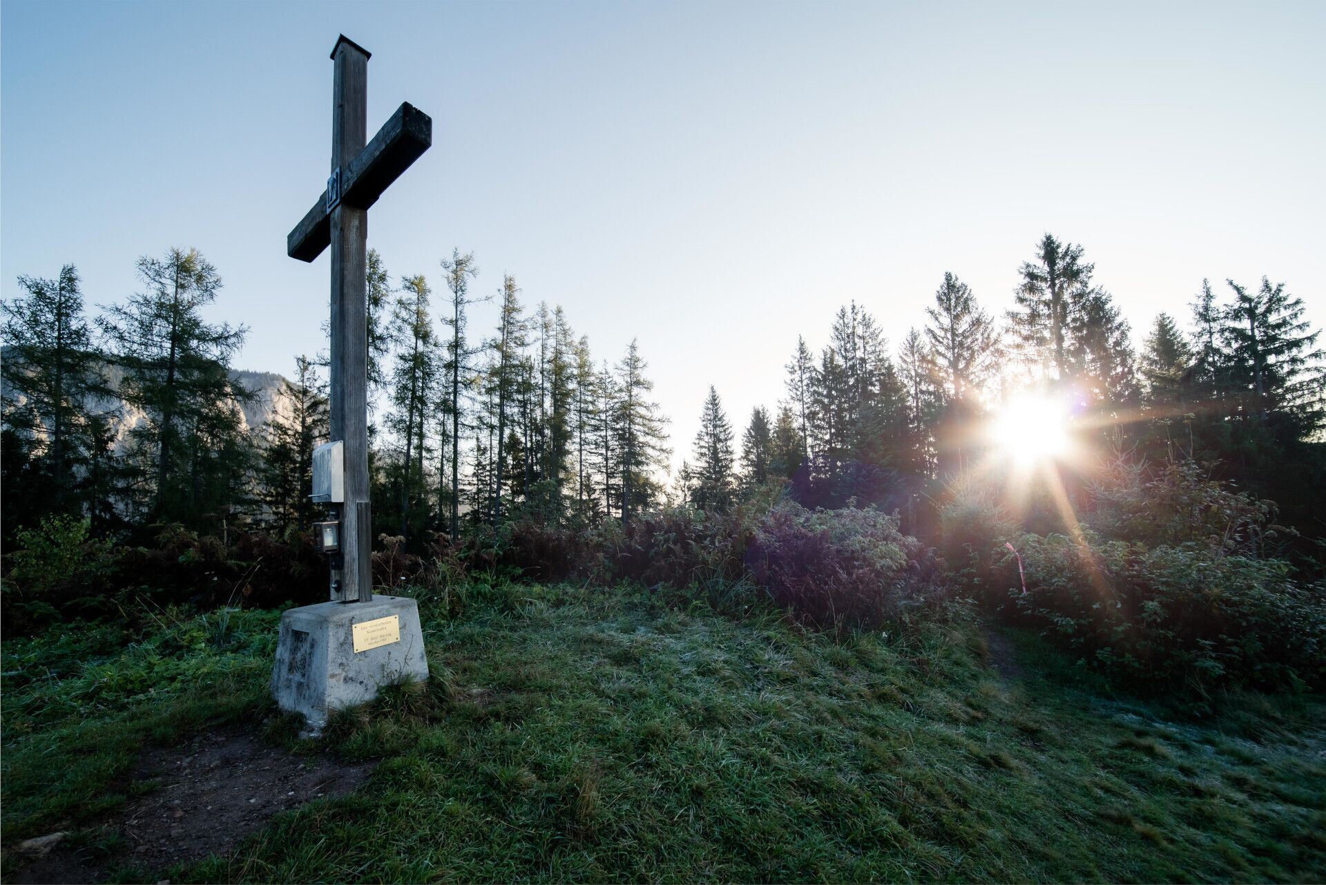

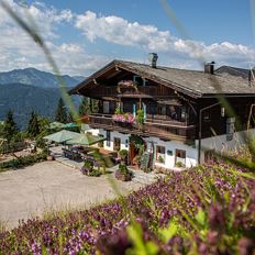
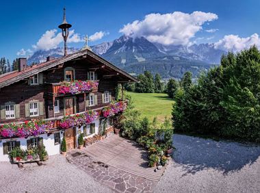
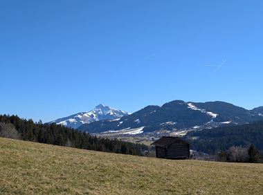
Stallhäusl
Open - Today 09:00 - 17:00
Söll
(0043) 5332 76342
Read more
The composition of the trail varies between forest and woodland paths and short sections on asphalt.
Rucksack, sturdy hiking/mountaineering boots with anti-slip treaded soles, weather-appropriate hiking gear (breathable), a change of clothes, sun protection (sunglasses, sun cream, lip protection, headgear), waterproofs (rain jacket/poncho, pocket umbrella, rucksack protector), cold protection (hat, gloves), sufficient food and drink, hiking poles (height adjustable) if required, first aid kit incl. rescue blanket and bivouac sack, mobile phone with fully charged battery, headlamp, plastic bag for waste, hiking map, route description and information materials (GPX track), ID, insurance card, cash
Read more
Hiking bus stop Söll, Steintal or regular bus stop Söll, Denggenbauer on line 4060.
More information at: www.wilderkaiser.info/mobility
Coming from Wörgl on the B178 main road, take the exit on the left, opposite the Söll business park, into the neighborhood of Ried. Follow the signs to "Alpenschlössl", after a 90° bend to the left past the houses, turn right at the next junction. After approx. 400 m you will reach the Alpenschlössl hiking starting point on the right-hand side.
Coming from St. Johann/Kufstein on the B178 main road, take the exit on the right, after the Söll business park, into the neighborhood of Ried. Follow the signs to "Alpenschlössl", after a 90° bend to the left past the houses, turn right at the next junction. After approx. 400 m you will reach the Alpenschlössl hiking starting point on the right-hand side.
Hiking starting point Alpenschlössl, Söll (762 m) - for free
Read more
Fitness
Technical
01
Jan
02
Feb
03
Mrz
04
Apr
05
May
06
Jun
07
Jul
08
Aug
09
Sep
10
Oct
11
Nov
12
Dec
Open - Today 09:00 - 17:00
Söll
(0043) 5332 76342

Söll
(0043) 5333 5210

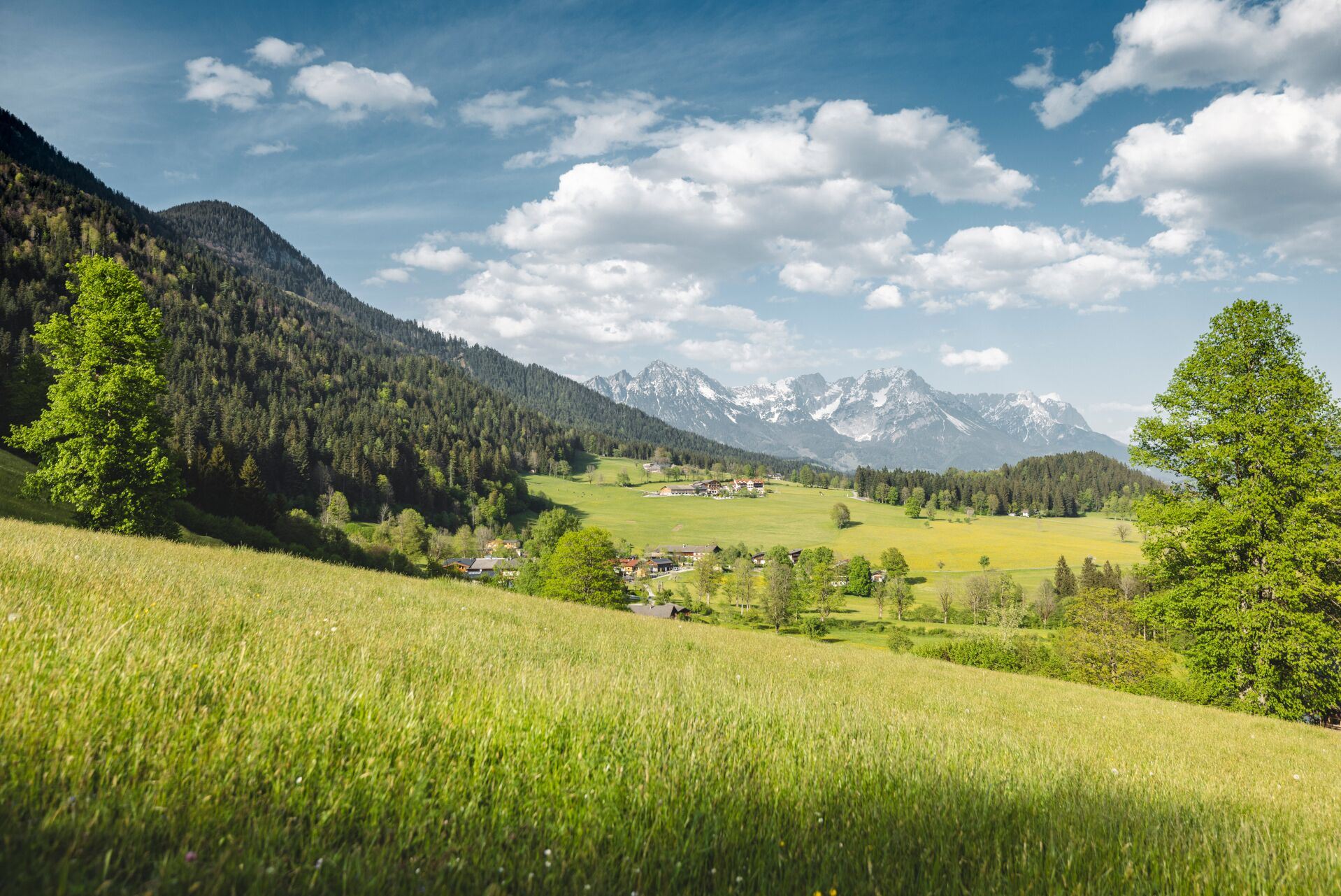
Nice circular hike through Going with visits to numerous chapels.
Hiking starting point Going center (former tourist information Going) (764 m)
Hiking starting point Going center (former tourist information Going) (764 m)
Hiking
Easy
2:45 h
9,3 km
210 Elevation gain
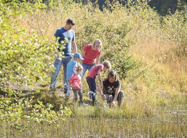
This easy family hike takes you via the Bergdoktorhaus to the Berggasthof Hochschwendt mountain inn.
Wanderstartplatz Tourist Info, Ellmau (800m)
Wanderstartplatz Tourist Info, Ellmau (800m)
Hiking
Easy
2:45 h
8,7 km
270 Elevation gain

From Going to the Astberg with a short high-altitude loop & impressive panoramic view.
Hiking starting point Going center (former tourist information Going) (764 m)
Hiking starting point Going center (former tourist information Going) (764 m)
Hiking
Easy
3:30 h
8,6 km
560 Elevation gain
Explore small places with farms, forests and views of the valley between Scheffau and Ellmau.
Hiking starting point Tourist Info, Scheffau (737 m)
Hiking starting point Tourist Info, Scheffau (737 m)
Hiking
Easy
2:45 h
8,5 km
270 Elevation gain
Off the beaten track up to the Köpfing farmhouse. “Der Bergdoktor” (The Mountain Doctor) is a famous German-Austrian TV series, which is produced in the Wilder Kaiser region.
Bergdoktor parking lot, Söll
Bergdoktor parking lot, Söll
Hiking
Easy
3:00 h
8,4 km
370 Elevation gain
An extensive exploration of the “Moor & more”. Exciting puzzle tour with Rocky through the Kaiserwald forest is sure to be lots of fun, even for older children.
Hiking starting point Hüttling, Going (820 m)
Hiking starting point Hüttling, Going (820 m)
Hiking
Easy
3:00 h
8,0 km
380 Elevation gain
2025-04-16
22 °C
2025-04-17
20 °C
2025-04-18
12 °C
2025-04-19
17 °C
