Deutsch
 English
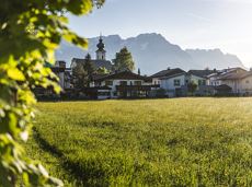
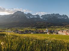
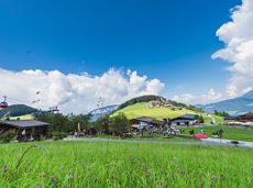
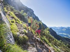
Brandstadl circuit
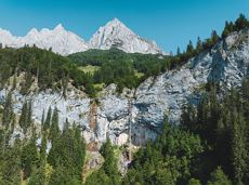
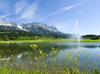
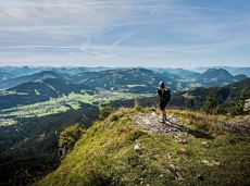
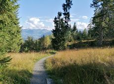
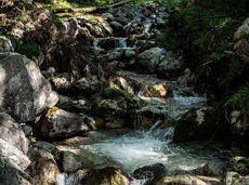
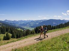
A walk that lets you experience the Brandstadl mountain and leads you to Jochstubnsee lake.
Brandstadlbahn valley station, Scheffau (681 m)
Brandstadlbahn valley station, Scheffau (681 m)
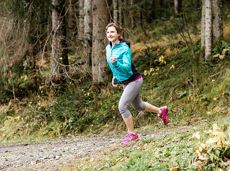
Wandelen
Gemakkelijk
4:45 u
12,7 km
1130 Hoogtemeters