Deutsch
 English
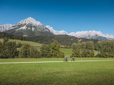
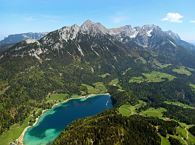
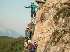
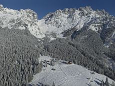
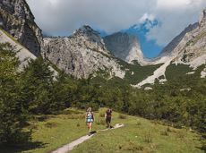
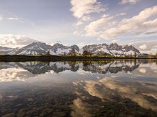
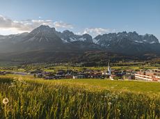
Scheffauer summit tour
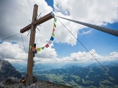
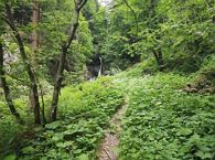
The panoramic Scheffauer is the last high peak in the west at 2,111 m above sea level.
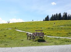
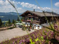
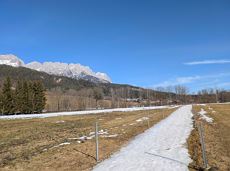
Hiking starting point Bärnstatt, Scheffau (920 m)
Hiking starting point Bärnstatt, Scheffau (920 m)
Wandelen
Moeilijk
7:00 u
7,9 km
1180 Hoogtemeters