The path is closed until 09/30/2027
Der Wanderweg Nr. 57 in Söll ist zwischen Oberstegen und Donnersbergbach auf Grund von Bauarbeiten bis auf Weiteres gesperrt.
Redirection
Umleitung über die Fahrstraße.
Description
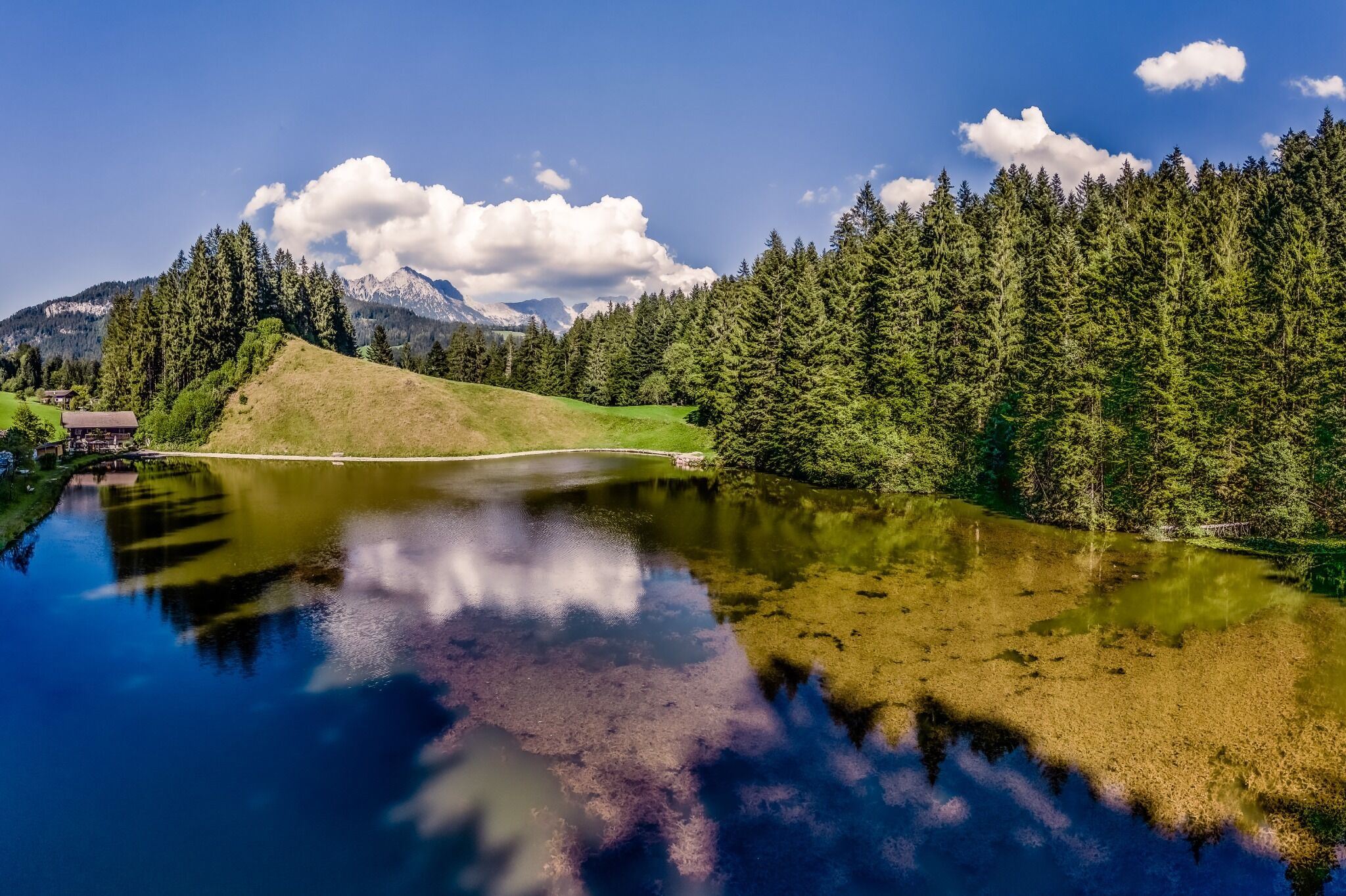
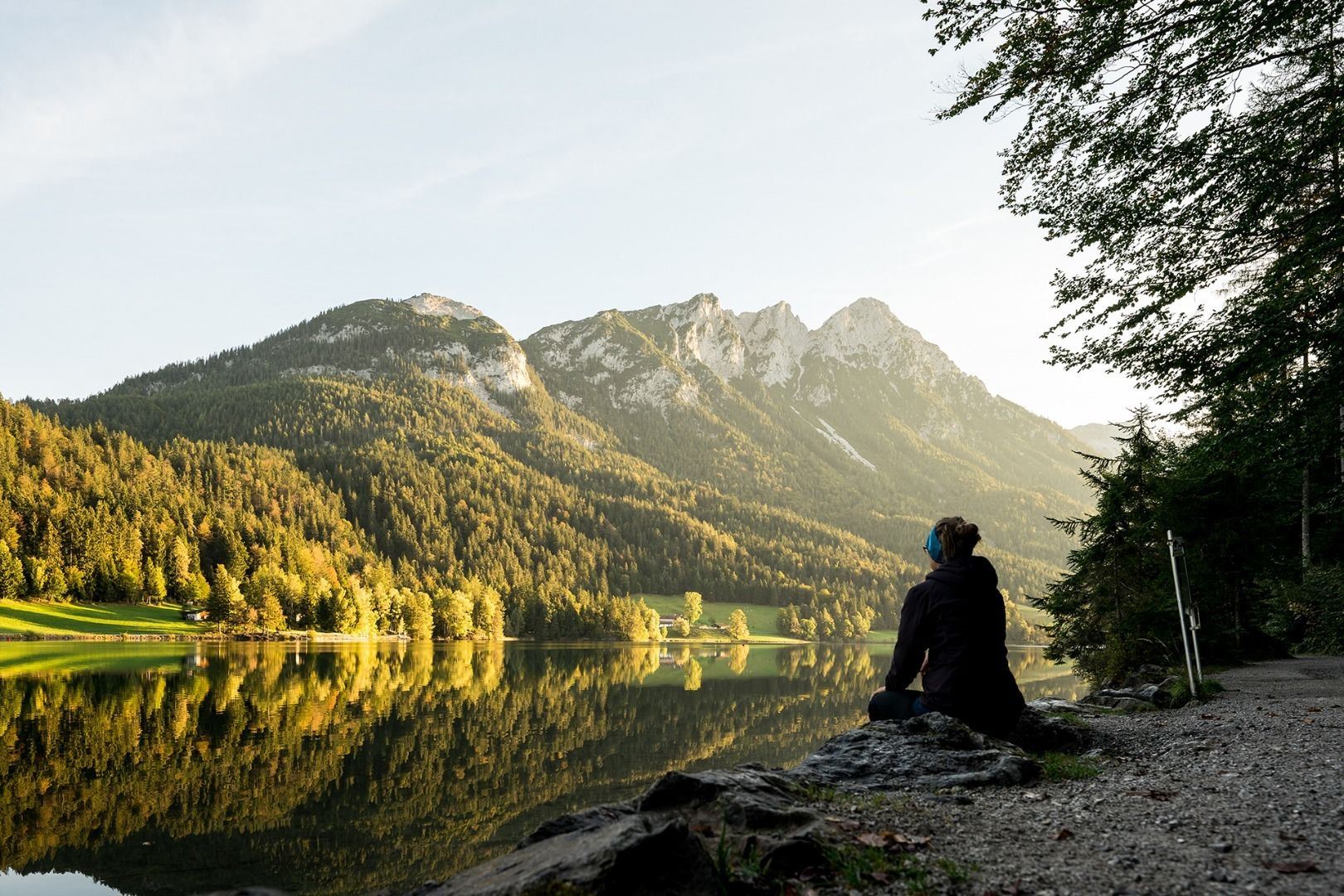
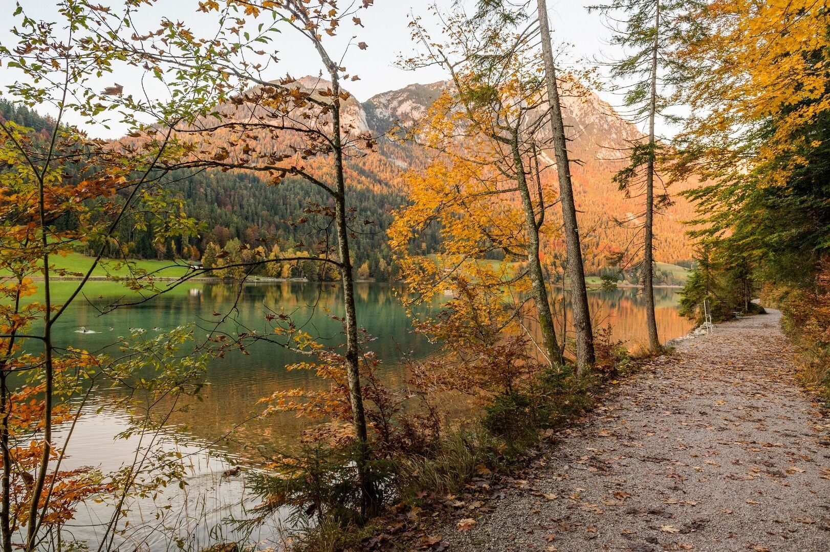
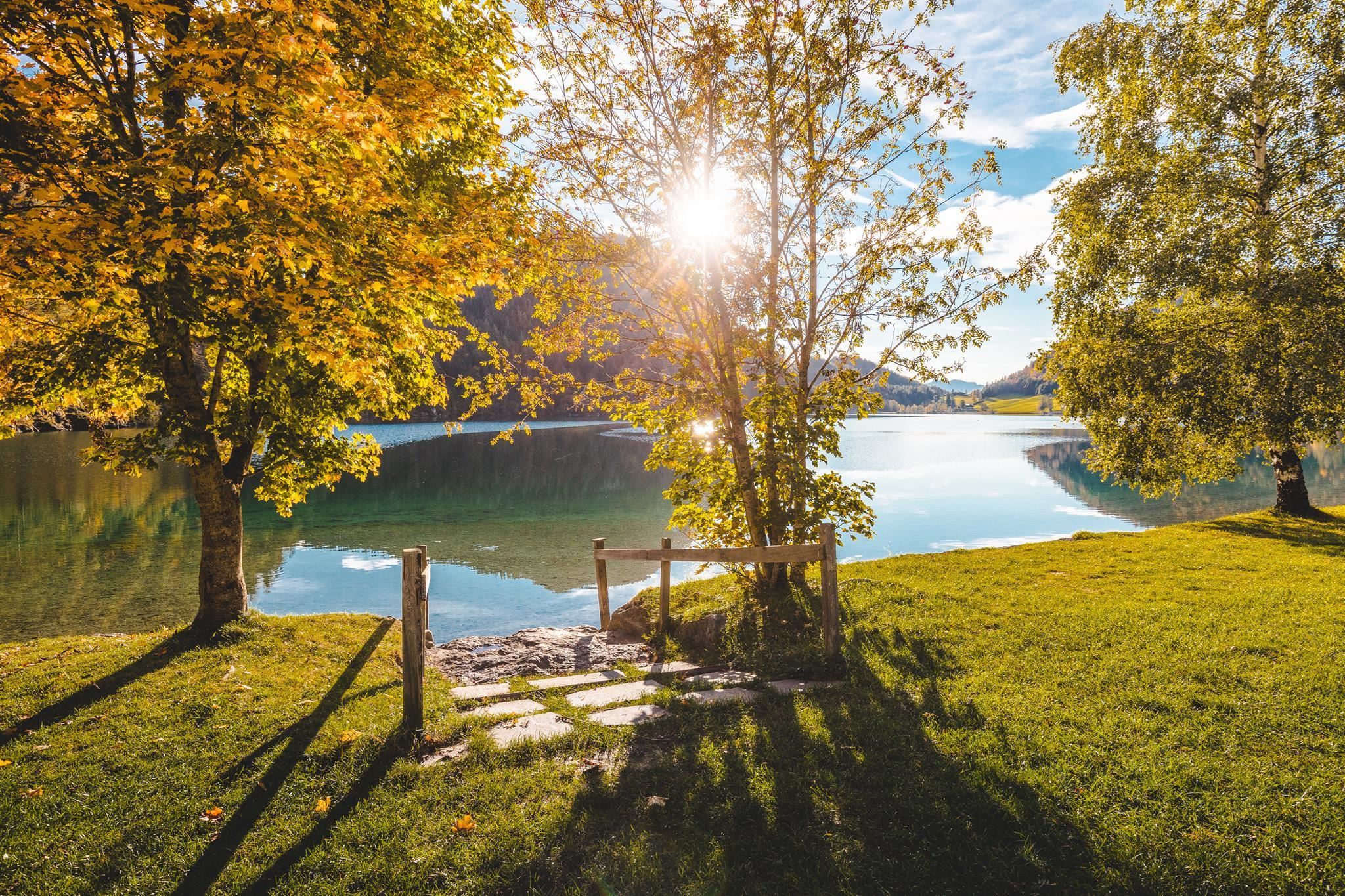
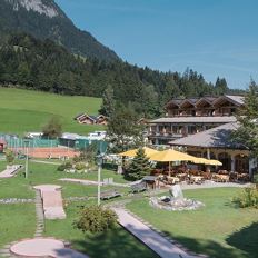
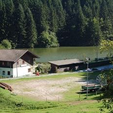
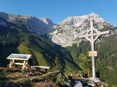
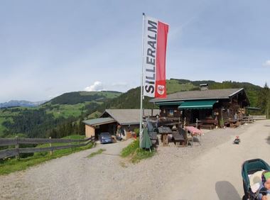
The starting point is at the Franzlhof. Via the Moorsee lake to Gasthof Oberstegen, where you cross the main road. Follow the signs for Hinterseiner See no. 57, initially walking along a road with little traffic. Behind the "Fiaggnbauer" farm, take the turn-off in the direction of Lake Hintersteiner See via the Tischleralm. You arrive at the southern shore of Lake Hintersteiner See and follow the forest path to the right to the Seestüberl on the eastern shore.
Tip: From there, we recommend taking the Hintersteiner Seebus back to Scheffau Dorf and changing to the KaiserJet back to Söll.
The composition of the trail varies between meadow path and forest trail, forest road (gravel), sections of asphalt (road used by motor vehicles).
Rucksack, sturdy hiking/mountaineering boots with anti-slip treaded soles, weather-appropriate hiking gear (breathable), a change of clothes, sun protection (sunglasses, sun cream, lip protection, headgear), waterproofs (rain jacket/poncho, pocket umbrella, rucksack protector), cold protection (hat, gloves), sufficient food and drink, hiking poles (height adjustable) if required, first aid kit incl. rescue blanket and bivouac sack, mobile phone with fully charged battery, headlamp, plastic bag for waste, hiking map, route description and information materials (GPX track), ID, insurance card, cash
Read more
Arrival
KaiserJet/Postbus stop “Söll Dorf” – followed by approx. 10-minute hike to the hiking starting point. More information at: www.wilderkaiser.info
Heading from Wörgl, Kufstein or St. Johann on the B178 road, take the exit to Söll and then take the exit to Söll centre (“Söll, Zentrum”) at the roundabout. Drive straight through the village and bear right before the “Giovanni” pizzeria. Follow the road until you reach the hiking starting point at the Franzlhof leisure centre.
Franzlhof leisure centre car park, Söll (703 m) – free
Intermediate circular hike with breathtaking views on the surrounding mountains. Attention: Trail no 828 is closed due to danger of falling rocks. Detour via path no. 816 and 827 via the Obere


 Deutsch