


 Deutsch
Parking area Ost Wilder Kaiser, Söll

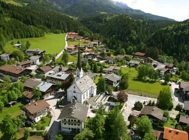
Söll
(0043) 5333 5210
Read more
Running shoes or trail running shoes (depending on the route), comfortable, breathable clothing, poss. lightweight rucksack with water bottle and snacks
Read more
KaiserJet stop "Söll Kreisverkehr - Steig B" or Postbus stop "Söll Kreisverkehr"
More information at: www.wilderkaiser.info/mobility
Coming from Wörgl, Kufstein or St. Johann on the B178 main road, take the exit to Söll. At the traffic circle, take the Söll Zentrum exit and turn right again. After the MPreis supermarket, turn left into the East Wilder Kaiser car park.
Public car park East Wilder Kaiser, Söll - free of charge
Read more
Fitness
Technical
01
Jan
02
Feb
03
Mrz
04
Apr
05
May
06
Jun
07
Jul
08
Aug
09
Sep
10
Oct
11
Nov
12
Dec
Söll
(0043) 5333 5210

Sports ground, Söll (687 m)
Sports ground, Söll (687 m)
Jogging
Easy
8,0 km
100 Elevation gain
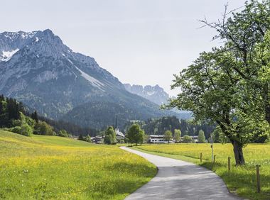
A running circuit from Scheffau towards Ellmau via the Auwald district.
Starting point Scheffau Tourist Information Office (752 m)
Starting point Scheffau Tourist Information Office (752 m)
Jogging
Easy
7,7 km
180 Elevation gain

Varied beginner trail round between the Kaiser towns of Ellmau and Going.
Wanderstartplatz Tourismus Info, Ellmau
Wanderstartplatz Tourismus Info, Ellmau
Jogging
Easy
9,7 km
500 Elevation gain

Ellmau hiking info point - Wimm - Riesen - Biedringer Alm - Biedringer Bauernhöfe - Ellmauer Kaiserbad - Ellmau hiking info point
Hiking starting point Tourist Info, Ellmau (800 m)
Hiking starting point Tourist Info, Ellmau (800 m)
Jogging
Easy
9,8 km
400 Elevation gain

Ellmau hiking info point - Gasthof Au - Ellmauer Hof - Haflingertränke - Auwald - Ellmau hiking info point
Hiking starting point Tourist Info, Ellmau (800 m)
Hiking starting point Tourist Info, Ellmau (800 m)
Jogging
Easy
1:30 h
9,8 km
300 Elevation gain
Explore the village Scheffau on a circuit run
Starting point Scheffau Tourist Information Office (752 m)
Starting point Scheffau Tourist Information Office (752 m)
Jogging
Easy
5,6 km
120 Elevation gain
2025-04-18
5 °C
2025-04-19
17 °C
2025-04-20
19 °C
2025-04-21
16 °C
