


 Deutsch

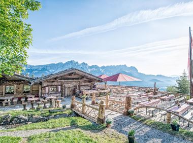
Hotel Blattlhof****

Cosed - Open from 10.05.2025
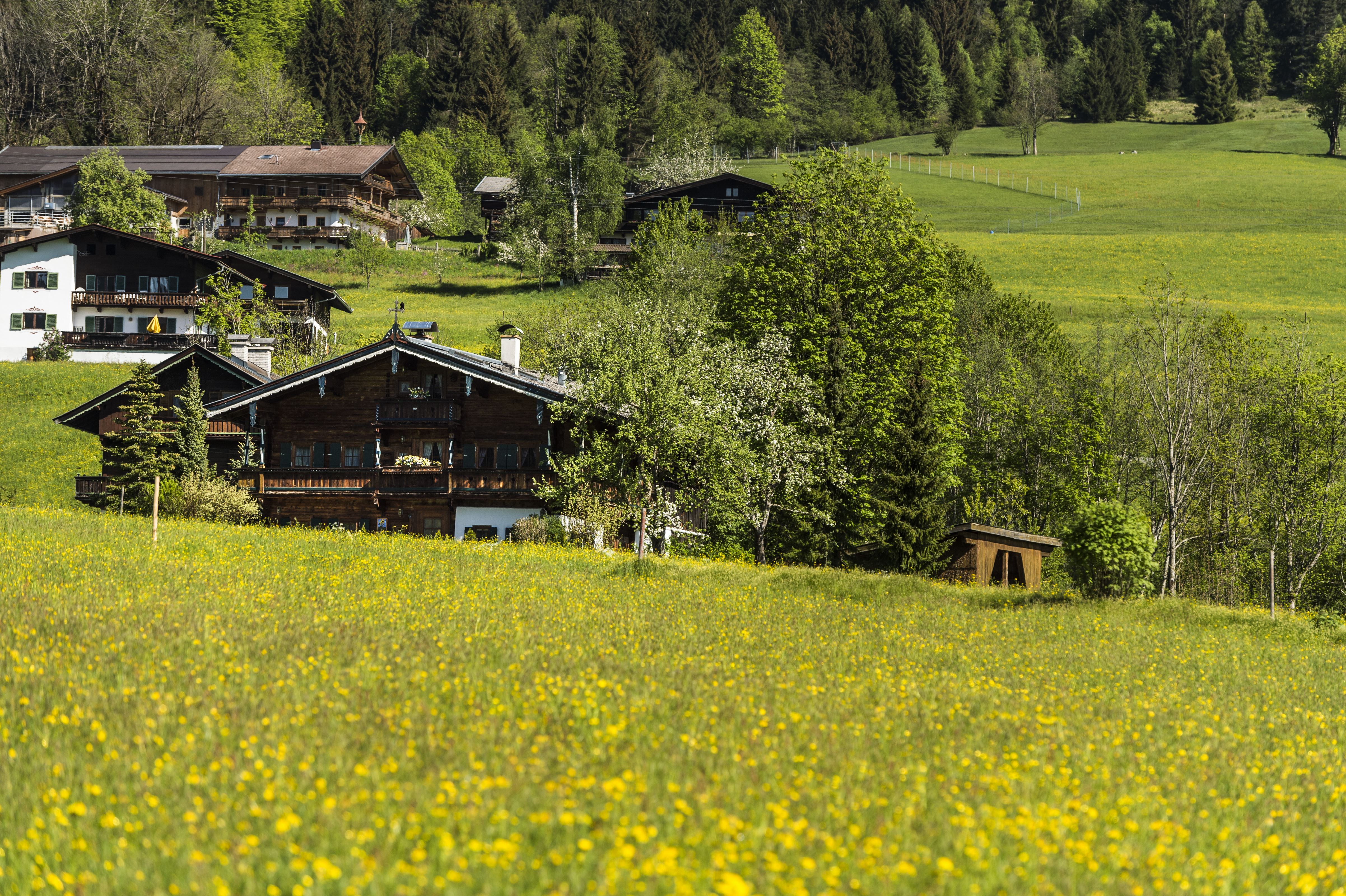
Going am Wilden Kaiser
(0043) 5358 2401
Read more
Running shoes, water bottle, energy bar, possibly gpx track
Read more
KaiserJet or Postbus stops “Going Dorf”.
More information at: www.wilderkaiser.info
Heading from Wörgl or Kufstein on the B178 road, take the exit to Going. You will see the Tourist Information Office and the hiking starting point on the right-hand side after approx. 100 m.
Heading from St. Johann on the B178 road, take the first exit to Going and drive through the town until you see the Tourist Information Office and the hiking starting point on the left-hand side after crossing the bridge.
Car park opposite the hiking starting point (located to the left of the road and before the bridge; 764 m) - for free
Read more
Fitness
Technical
Erlebniswert
Landschaft
01
Jan
02
Feb
03
Mrz
04
Apr
05
May
06
Jun
07
Jul
08
Aug
09
Sep
10
Oct
11
Nov
12
Dec
Cosed - Open from 10.05.2025
Going am Wilden Kaiser
(0043) 5358 2401

Cosed - Open from 14.05.2025
Going am Wilden Kaiser
(0043) 5358 2411

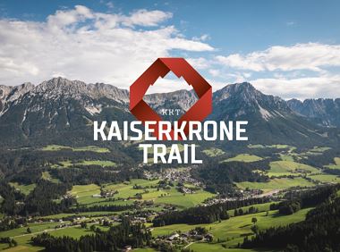
The Kaiserkrone Trail is a trail running event with several competitions that lead around the Wilder Kaiser mountain massif. More about the event at: Start & Finish - village center of Scheffau (732 m), address: Dorf 45, 6351 Scheffau Start & Finish - village center of Scheffau (732 m), address: Dorf 45, 6351 Scheffau Jogging Intermediate 8,3 km 490 Elevation gain
Ellmau village park - Hartkaiserbahn valley station - Bergschenke - Rübezahlalm - Jägerhütte - Hartkaiser summit station
Hiking starting point Tourist Info, Ellmau (800 m)
Hartkaiser summit station, Ellmau (1,555 m)
Jogging
Intermediate
8,2 km
720 Elevation gain
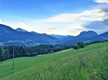
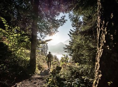
A run during which you can enjoy peace and quiet in the great outdoors.
Starting point Scheffau Tourist Information Office (752 m)
Starting point Scheffau Tourist Information Office (752 m)
Jogging
Intermediate
6,1 km
260 Elevation gain
The Kaiserkrone Trail is a trail running event with several competitions that lead around the Wilder Kaiser mountain massif. More about the event at: Start & Finish - village center of Scheffau (732 m), address: Dorf 45, 6351 Scheffau Start & Finish - village center of Scheffau (732 m), address: Dorf 45, 6351 Scheffau Jogging Intermediate 20,7 km 1290 Elevation gain
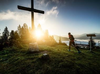
Pure adrenaline is the motto of the Pölven trail on the third day of the Tour de Tirol
Hiking starting point Tourist Info, Söll (689 m)
Hiking starting point Tourist Info, Söll (689 m)
Jogging
Intermediate
22,8 km
1110 Elevation gain
Pure adrenaline is the motto of the Pölven trail on the third day of the Tour de Tirol
Hiking starting point Tourist Info, Söll (689 m)
Hiking starting point Tourist Info, Söll (689 m)
Jogging
Intermediate
24,2 km
1260 Elevation gain
2025-04-19
5 °C
2025-04-19
17 °C
2025-04-20
19 °C
2025-04-21
16 °C
