Deutsch
 English
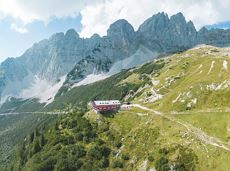
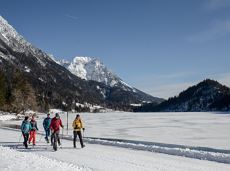
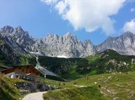
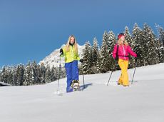
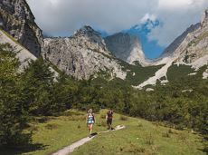
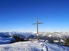
Hollenauer Kreuz winter hiking route
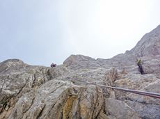
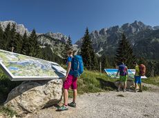
Climb to the best viewpoint in the mountains, where the Wilder Kaiser is within touching distance.
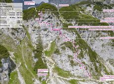
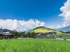
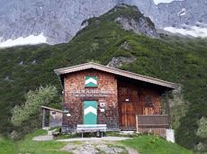
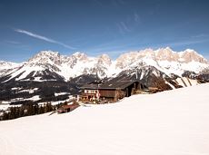
Hiking starting point Going center (former tourist information Going) (764 m)
Hiking starting point Going center (former tourist information Going) (764 m)
Wandelen
Normaal
4:30 u
10,7 km
360 Hoogtemeters