Deutsch
 Nederlands
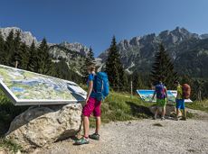
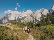
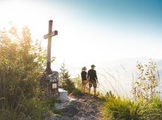
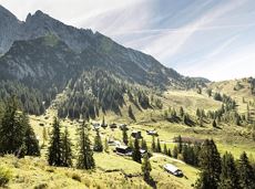
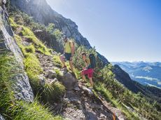
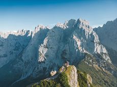
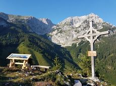
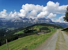
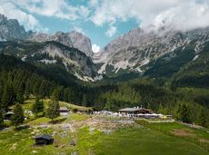
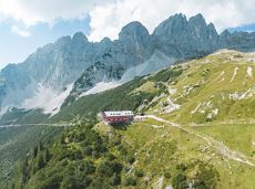
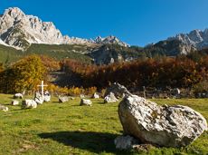
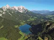
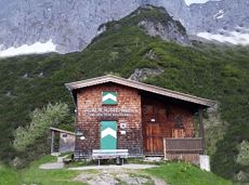
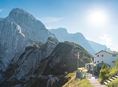
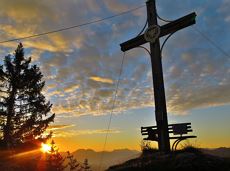
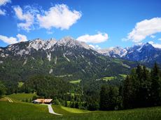
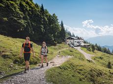
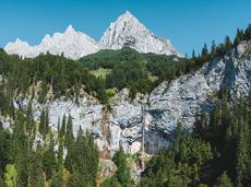
From the Kaiser-Hochalm to the Seilabodenkreuz
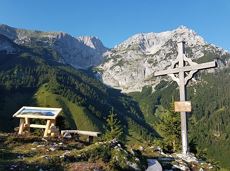
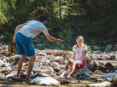
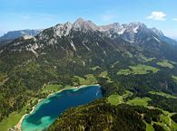
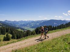
Alpine pasture circular hiking route with a breathtaking view over Scheffau!
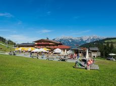
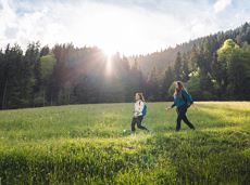
Hiking starting point Tourist Info, Scheffau (738 m)
Hiking starting point Tourist Info, Scheffau (738 m)
Hiking
Intermediate
5:15 h
12,9 km
800 Elevation gain